What is recorded here
Fairy fort / ringfort in Lisnamoltaun stands on a Galway ridge as a subcircular shadow, its bank and scarp still drawing an incomplete circle through grassland. The small southern enclosure sits like a forgotten chamber on the ridge, perhaps a watch point, a child’s game or a room left behind when the larger house emptied. People may have lived there, fled it or simply passed it with a nod, while the land kept the shape of their absence.
On a ridge in undulating grassland. Poorly preserved subcircular rath (WNW-ESE 34.6m, NNE-SSW 24.8m) defined by a bank from NNE to E and from SSE through W to NNW; elsewhere a scarp forms the enclosing element. From S to NW traces of an external fosse are visible. On top of bank at S, a small circular enclosure (D 3.8m) is defined by a low stony bank.
The above description is derived from the published 'Archaeological Inventory of County Galway Vol. II - North Galway'. Compiled by Olive Alcock, Kathy de hÓra and Paul Gosling (Dublin: Stationery Office, 1999).
Date of upload: 05 August 2010
The monument record does not grant public access. Check the route and ask the landowner before entering private land.
- What survives
- Recorded monument
Places near here
 Site of Lisnamoltaun CastleCastle, unclassified · 153 yd
 CastleCastle, unclassified · 439 yd
 Enclosure in Killagh MoreEnclosure · 1341 yd
 Enclosure in CloverparkEnclosure · 1359 yd
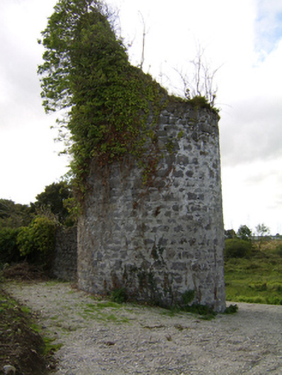 Woodlawnfolly · 1639 yd
 Quarry in Castlebin NorthQuarry · 1699 yd
 Large-leaved LimeLarge-leaved Lime · 1.6 mi
 Western RedcedarWestern Redcedar · 2.1 mi
 Kilconnell AbbeyHeritage attraction · 2.8 mi
 Battle of Aughrim Interpretative CentreMuseum · 5.5 mi
 Battle of AughrimMajor battlefield · 5.8 mi
 Turoe StoneHeritage attraction · 5.9 mi