What is recorded here
Quarrying bit into the northwest edge of the Lisnamoltaun rath, but the irregular bank still circles the grassy hillock. Two modern gaps punch through the earth at southeast and south west, yet neither feels like the entrance a living fort would have used. The hidden passage beneath the center suggests the site kept more than stones, perhaps memory or warning. A second ringfort waits one hundred and eighty metres to the west north west, doubling the mystery instead of solving it.
On a hillock in grassland. Irregularly shaped rath (E-W 42.5m, N-S 24.7m), in fair condition, defined by a bank which survives from E through S to NNW, and elsewhere by a scarp. Quarrying has encroached upon the monument at NW. Either of two gaps at SE and SSW, though modern, could have given original access. There is a probable Man-made underground passage (GA080-189001-) in the interior. Another ringfort (GA086-195----) lies 180m to WNW. (ASGAP 171:28)
The above description is derived from the published 'Archaeological Inventory of County Galway Vol. II - North Galway'. Compiled by Olive Alcock, Kathy de hÓra and Paul Gosling (Dublin: Stationery Office, 1999).
Date of upload: 05 August 2010
The monument record does not grant public access. Check the route and ask the landowner before entering private land.
- What survives
- Recorded monument
Places near here
 Site of Lisnamoltaun CastleCastle, unclassified · 773 yd
 Enclosure in CloverparkEnclosure · 816 yd
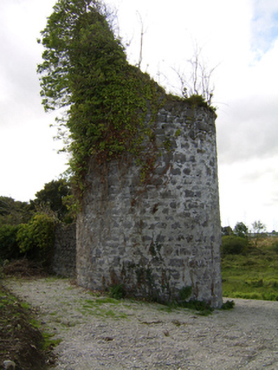 Woodlawnfolly · 895 yd
 CastleCastle, unclassified · 1192 yd
 Enclosure in WoodlawnEnclosure · 1269 yd
 Quarry in Castlebin NorthQuarry · 1350 yd
 Large-leaved LimeLarge-leaved Lime · 1.3 mi
 Western RedcedarWestern Redcedar · 1.7 mi
 Kilconnell AbbeyHeritage attraction · 3.0 mi
 Turoe StoneHeritage attraction · 5.6 mi
 Battle of Aughrim Interpretative CentreMuseum · 6.0 mi
 Battle of AughrimMajor battlefield · 6.3 mi