What is recorded here
Mortals levelled half the fort in 1982, believing they understood the ground. The remaining bank circles untouched, waiting for the fool who broke it to return and finish the shape.
On a gentle S-facing slope in grassland. Poorly preserved circular ringfort (D 38m) defined by a bank which survives from N through E to ESE where a field boundary cuts the monument. The remainder was levelled in 1982 by the landowner (pers. comm. Prof. Rynne). A CBG (GA085-072001-) is associated.
The above description is derived from the published 'Archaeological Inventory of County Galway Vol. II - North Galway'. Compiled by Olive Alcock, Kathy de hÓra and Paul Gosling (Dublin: Stationery Office, 1999).
Date of upload: 05 August 2010
The monument record does not grant public access. Check the route and ask the landowner before entering private land.
- What survives
- Recorded monument
Places near here
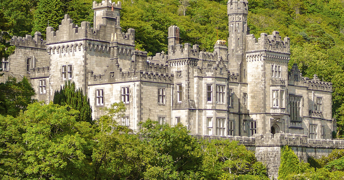 Tober ImorHoly well · 1.1 mi
 R.C. ChapelChurch · 1.1 mi
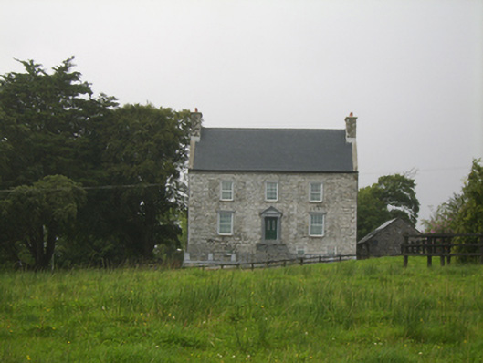 Killimor Castlecountry house · 1.1 mi
 IndicatedHoly well · 1.9 mi
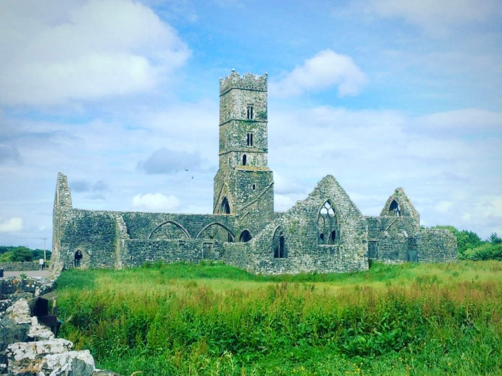 Cloonbrusk Castle (in ruins)Castle, unclassified · 2.5 mi
 MoteCastle, motte and bailey · 3.4 mi
 Turoe StoneHeritage attraction · 4.3 mi
 Moyard WoodWood · 4.6 mi
 Barrack IslandIslet · 7.6 mi
 Middle IslandIslet · 7.7 mi
 Menlough IRAMemorial · 8.4 mi
 Kilconnell AbbeyHeritage attraction · 9.3 mi