What is recorded here
Situated on a slight rise of reclaimed grassland on the W side of a hill with ringfort (WM011-063----) 165m to NNE and marsh land 170m to SW. Depicted as a small circular earthwork on 1837 ed. OS 6-inch map but not indicated on 1911 ed. OS 25-inch map suggesting that the monument was levelled between these two dates. Annotated as a 'fort' on the 1837 OS Fair plan map. Barely visible outline of the levelled enclosure (approx. diam. 16m) survives as a very faint earthen bank (Wth 1.8m; H 0.45m). Gap (Wth 2.3m) visible at E may have been the original entrance feature
Compiled by: Frank Coyne and Caimin O'Brien
Date of upload: 23 August 2017
The monument record does not grant public access. Check the route and ask the landowner before entering private land.
- What survives
- Recorded monument
Places near here
 Partially hachuredFairy fort / earthen ringfort · 225 yd
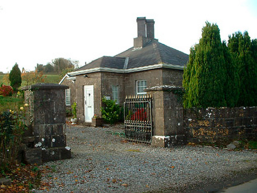 Rathbennett Housegate lodge · 581 yd
 Partially indicatedFairy fort / earthen ringfort · 836 yd
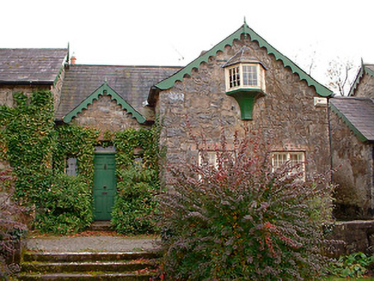 Wilson's Hospitalworker's house · 995 yd
 Castle Quarter, Castle (in ruins)Castle, unclassified · 1.1 mi
 Carrick CastleCastle · 1.4 mi
 Bridge Memorial (Kenna)Memorial · 2.1 mi
 Carrickphilbin IslandIslet · 2.7 mi
 Srudarra IslandIslet · 3.3 mi
 Baronstown ForestWood · 3.5 mi
 Horse-chestnutHorse-chestnut · 3.6 mi
 WestmeathVisitor information · 5.1 mi