
What is recorded here
This monument was identified by geophysical survey (Licence no. 05R030Ext) and confirmed by test excavation (Licence no. 05E0415) undertaken within Killeen Castle Demesne in advance of golf course development. Located c.150m east of burial and habitation site (ME038-045----), the site consists of a circular double-ditched enclosure. The inner ditch (Wth 2.2m) encloses an area (diam. c. 29m) while the outer ditch (Wth 4m) encloses a wider area (diam. 55m). There is considerable activity internally. While no diagnostic material was retrieved the morphology suggests this is a bivallate ringfort (Baker 2009, 31). It is associated with a field system (ME038-044002-).
Compiled by: Christine Baker
Date of upload: 22 February 2015
The monument record does not grant public access. Check the route and ask the landowner before entering private land.
- What survives
- Recorded monument
Places near here
 Enclosure in KilleenEnclosure · 229 yd
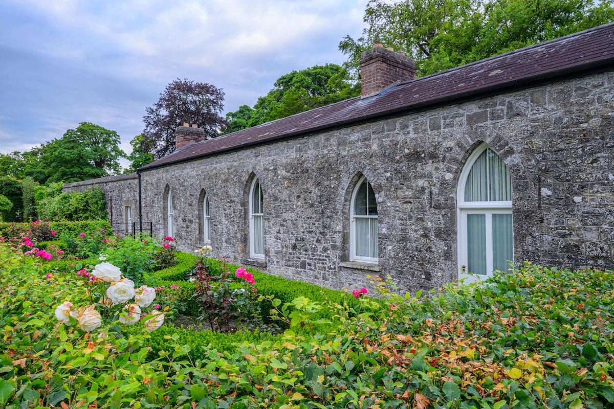 Lady WellHoly well · 656 yd
 AbbeyChurch · 851 yd
 Killeen CastleCastle, tower house · 893 yd
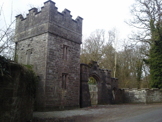 Dunsany Castlegate lodge · 1635 yd
 Laurel WoodsWood · 1697 yd
 Belpere WoodWood · 1.1 mi
 Battle of Tara Hillbattle · 2.6 mi
 Battle of Tara (Ireland)Major battlefield · 2.6 mi
 Tara Open StudioGallery · 2.8 mi
 Saint Patrick'sMemorial · 2.8 mi
 Hill of TaraVisitor information · 2.9 mi
Other information
Photo: Credit not shown in the picture search · Rights wording not checked; contact us if this picture should be removed