What is recorded here
Kilgobbin holds a forgotten ringfort where wet grass has swallowed the stone. The earth still rises in a shallow circle, but the wide outer boundary has vanished beneath pasture and rain. Any person who lived there must have watched storms arrive through low hanging clouds, hearing danger before seeing it. The fort disappeared the way all small human places do when no one remembers the name of the field.
In lowlying level wet pasture with poor views in all directions. Surveyed by ASI in 2000 and described as consisting of a raised circular-shaped area (dims. 16m N-S; 17m E-W) defined by a scarp (Wth 6.60m; H 1.4m). Interior gently undulating and clear of undergrowth. Levelled monument (overall diam. 54m) visible today as a faint cropmark on Digital Globe orthoimage taken 2011-2013 and Google Earth orthophoto taken 14/02/2020.
See attached Google Earth orthoimages
Compiled by: Fiona Rooney
Date of upload: 16 July 2020
The monument record does not grant public access. Check the route and ask the landowner before entering private land.
- What survives
- Recorded monument
Places near here
 Enclosure in KilgobbinEnclosure · 242 yd
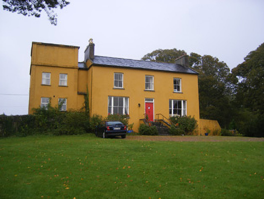 Clonunion Househouse · 1040 yd
 Newborough Housecountry house · 1238 yd
 Franciscan AbbeyArchaeological place · 1746 yd
 European BeechEuropean Beech · 1.1 mi
 European YewEuropean Yew · 1.1 mi
 Desmonds Castle (in ruins)Castle, Anglo-Norman masonry castle · 1.2 mi
 Adare Desmond CastleMedieval castle · 1.2 mi
 Desmond CastleHeritage attraction · 1.2 mi
 CastleCastle, tower house · 1.4 mi
 Adare Tourist OfficeVisitor information · 1.6 mi
 Biodiversity in the Maigue CatchmentVisitor information · 4.4 mi