What is recorded here
Situated on a fairly level, low-lying landscape. The cropmark of a circular feature defined by a single bank feature (ext. diam. c. 40m) is visible on aerial photographs (ASIAP (3) 7-11). It is also visible on the OSI series of aerial photographs (2000).
Compiled by: Michael Moore
Date of upload: 23 July, 2013
The monument record does not grant public access. Check the route and ask the landowner before entering private land.
- What survives
- Recorded monument
Places near here
 Enclosure in Haggard (bargy By.)Enclosure · 44 yd
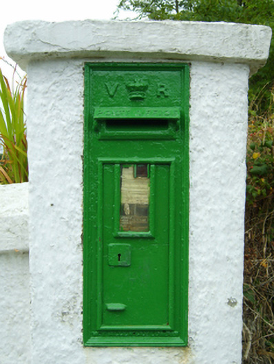 post boxpost box · 279 yd
 rectory/glebe/vicarage/curate's houserectory/glebe/vicarage/curate's house · 391 yd
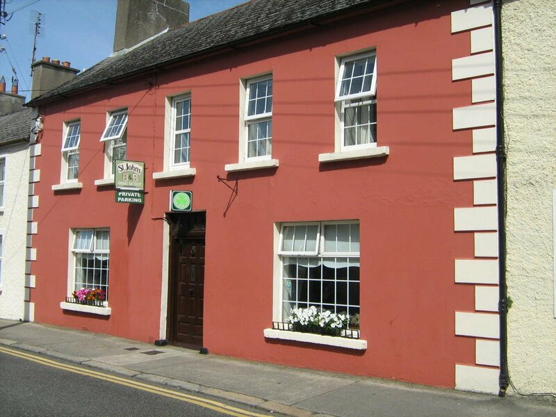 Ladys WellHoly well · 719 yd
 Bridges ChamberCave · 949 yd
 Blackhall StrandBeach / strand · 1237 yd
 Castle (in ruins)Castle, unclassified · 1338 yd
 Ballymadder PointHeadland · 1.1 mi
 CastleCastle, motte · 1.8 mi
 1798 MemorialMemorial · 1.8 mi
 Carrig-On-BannowVisitor information · 1.8 mi
 Cullenstown StrandBeach / strand · 1.8 mi