What is recorded here
Half-buried in Gortnahorna grass, the fort keeps its shape like a breath held under water. A bank circles from southwest through west to north, while a sharp scarp completes the rest, and a six-metre gap faces east as if waiting for someone. Inside the northern half, a keyhole-shaped stone mound sits like a door handle on a hidden chamber. The fairies may have built it, but the shape suggests human hands, pride, and a threshold they never finished closing.
On a hummock in slightly undulating grassland. Poorly preserved subcircular rath (E-W 32m, N-S 27m) defined by a bank from SW through W to N; elsewhere a scarp forms the enclosing element. A gap (Wth 6m) at E could be original. Within N half of the interior, a keyhole-shaped mound of stone is visible.
The above description is derived from the published 'Archaeological Inventory of County Galway Vol. II - North Galway'. Compiled by Olive Alcock, Kathy de hÓra and Paul Gosling (Dublin: Stationery Office, 1999).
Date of upload: 05 August 2010
The monument record does not grant public access. Check the route and ask the landowner before entering private land.
- What survives
- Recorded monument
Places near here
 LisleaArchaeological place · 620 yd
 Ballagh Castle (in Ruins)Castle, unclassified · 1157 yd
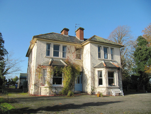 Garryduff Househouse · 1185 yd
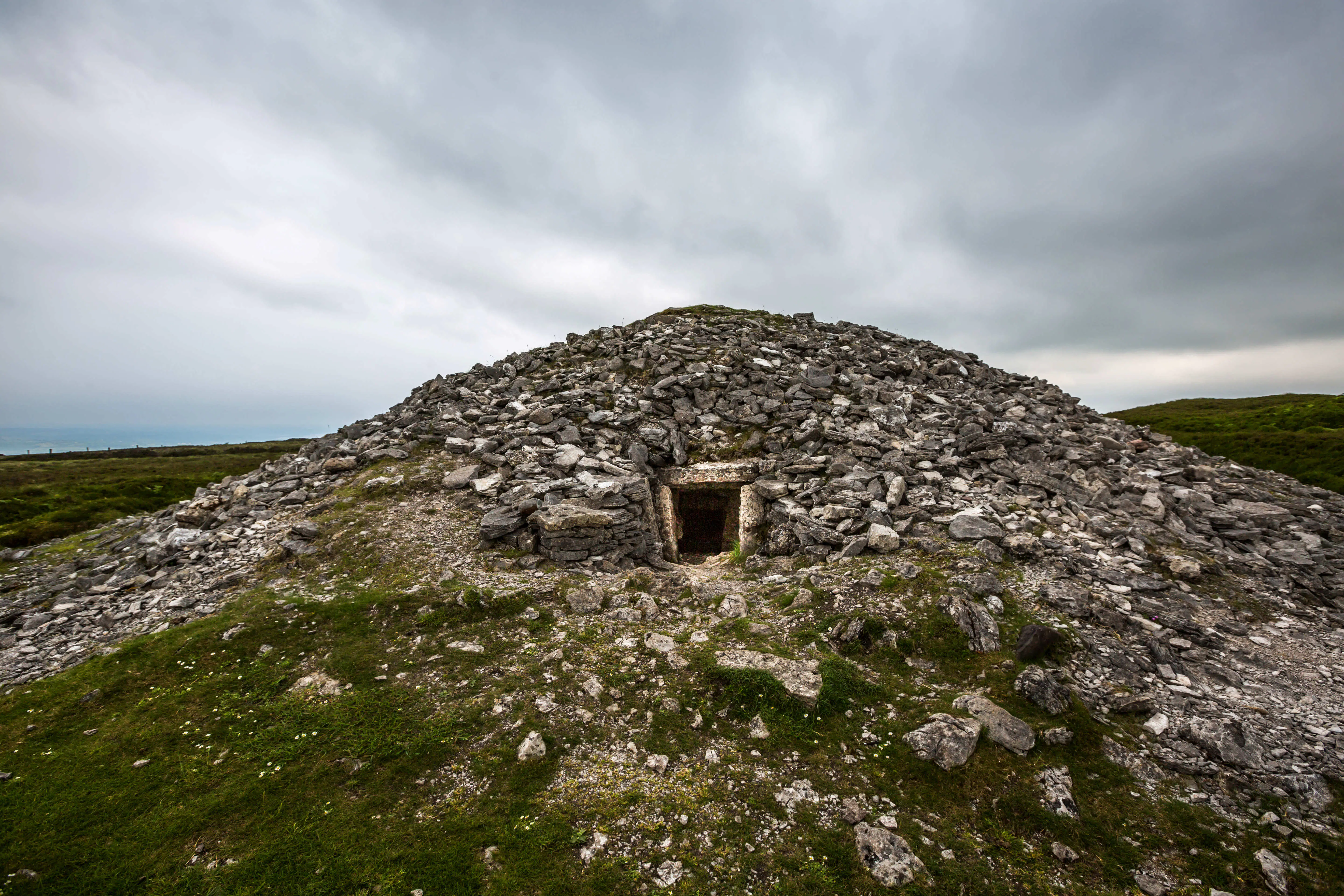 Quarry in Carrowkeel (clonmacnowen By.)Quarry · 1227 yd
 Enclosure in TempleparkEnclosure · 1244 yd
 Urraghry HillMountain / peak · 1.6 mi
 The bloody HollowHeritage attraction · 2.1 mi
 European BeechEuropean Beech · 2.2 mi
 Battle of AughrimMajor battlefield · 2.4 mi
 European YewEuropean Yew · 2.5 mi
 Battle of Aughrim Interpretative CentreMuseum · 2.9 mi
 Castle (Site of)Castle, Anglo-Norman masonry castle · 2.9 mi