What is recorded here
Monument was levelled during land project works carried out in the 1970s. The site of the possible levelled ringfort (diam. c. 42m NNW-SSE) was inspected in 1977 and described as follows: 'On the NE end of a NE-SW ridge in good pasture land. All that now remains is a low scarp with a line of nettles at its foot visible from WNW-NW. Beyond this is a narrow and broken band of nettles in a slight depression stretching in an arc from WSW-W-N which may represent the line of the fosse. On the E side there is an irregular band of stony soil visible about halfway down the slope of the ridge which may represent the site of a bank. A modern field fence runs NW-SE past the site on the E and curves out around the foot of the ridge on the NE. The interior slopes irregularly from NW to SE' (SMR file). Ringfort (WM032-068----) located 100m to the SSE.
Compiled by: Caimin O'Brien
Date of upload: 06 March 2013
The monument record does not grant public access. Check the route and ask the landowner before entering private land.
- What survives
- Recorded monument
Places near here
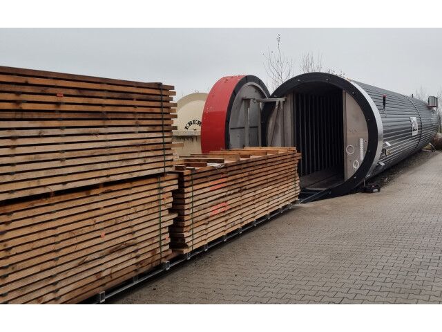 KilnKiln, corn-drying · 312 yd
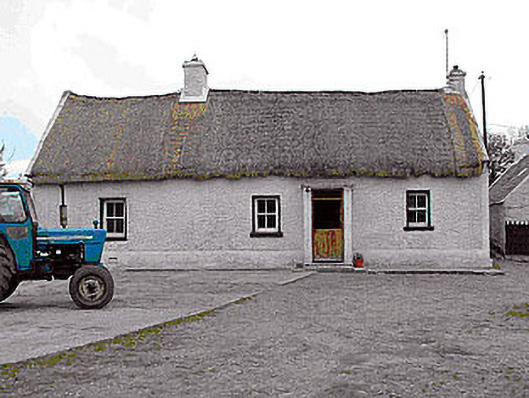 farm housefarm house · 522 yd
 CastleCastle, motte · 1162 yd
 Killalea FortCastle, motte · 1428 yd
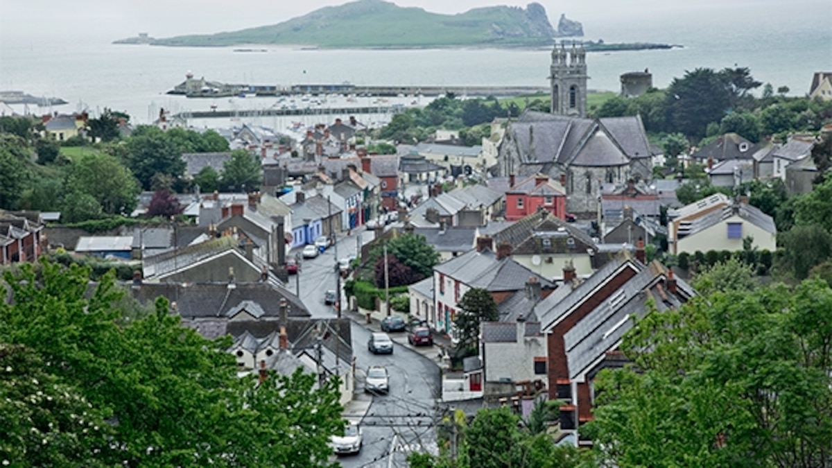 Partially hachuredFairy fort / earthen ringfort · 1619 yd
 Rathnagalliagh FortFairy fort / earthen ringfort · 1631 yd
 Sam's ParkForest · 4.4 mi
 Kilmalady HillMountain / peak · 4.6 mi
 KnockastiaMountain / peak · 5.1 mi
 Ardan WoodWood · 5.3 mi
 Clara Bog BoardwalkHeritage attraction · 8.3 mi
 Charles BianconiMemorial · 8.8 mi