What is recorded here
Glendhu, a quiet townland in Leitrim, holds a hidden ringfort on a flat-topped rock knoll. Surveyed in 1835 and 1910, the thirty-metre circle has vanished from ground view, leaving only memory and grass. What the land forgot, the story keeps: a small fortress, buried in time, waiting to be remembered.
Indicated as a circular enclosure (diam. c. 30m) on the 1835 and 1910 eds of the OS 6-inch map, it is located on a flat-topped knoll of rock outcrop in pasture. It is not visible at ground level.
The above description is derived from 'The Archaeological Inventory of County Leitrim' compiled by Michael J. Moore (Dublin: Stationery Office, 2003). In certain instances the entries have been revised and updated in the light of recent research.
Date of upload/revision: 13 December 2011
The monument record does not grant public access. Check the route and ask the landowner before entering private land.
- What survives
- Recorded monument
Places near here
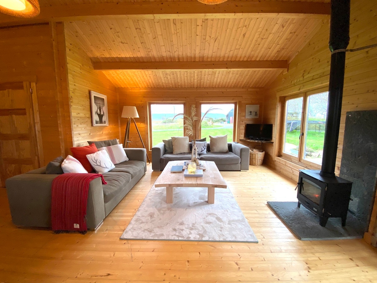 Enclosure in GlenboyEnclosure · 835 yd
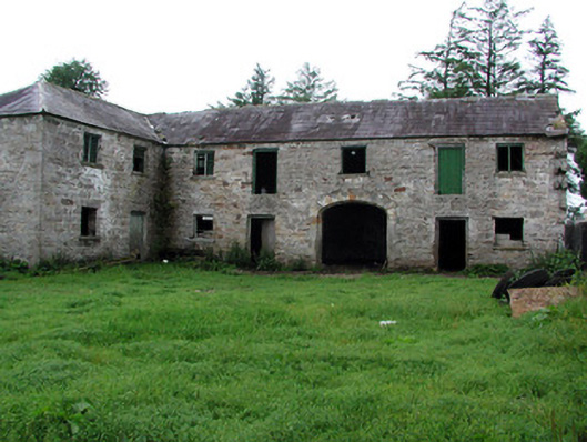 Hollymountoutbuilding · 1038 yd
 Enclosure in MunnagashelEnclosure · 1283 yd
 The Giants GraveArchaeological place · 1.2 mi
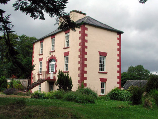 Fortland Housecountry house · 1.6 mi
 Ballaghnabehy TopMountain / peak · 2.2 mi
 Giants RockNamed rock · 2.6 mi
 Dough MountainMountain / peak · 3.6 mi
 Kilroosk RockNamed rock · 4.3 mi
 Ashisland WoodForest · 4.8 mi
 Longhill WoodForest · 5.1 mi
 Castle CarCastle · 5.4 mi