What is recorded here
A circular earthwork, possibly a ringfort or decorative tree-ring, sits in the southeast corner of a grass field near Farnane House. The surrounding landscape changed repeatedly, cutting through the bank and leaving gaps that suggest reuse rather than continuous occupation. The shape resists easy explanation, preserving only the faint impression of a boundary drawn long before the house arrived.
In grassland, in SE corner of field 130m E of townland boundary with Toberagarriff. Depicted on the 1840 OS 6-inch map as a circular-shaped area enclosed by a bank with transected at S and E by post-1700 field boundaries. This map depicts Farnane House 300m to E with a separate tree lined avenue running S from the R506 for a distance of 175m. The avenue stops 55m to N of the enclosure. The 1897 OS 25-inch map depicts a raised circular-shaped area (approx. diam. 20m) defined by a scarp. Digital Globe aerial photography taken 2011-13 shows the outline of the enclosure in the SE corner of the field with a number of gaps particularly at N. Outline of poorly preserved monument visible Google Earth orthoimage taken 28/06/2018. On this image than enclosing bank is visible from E through S to SSW with the remainder of the enclosing element denuded and large gaps visible at N and NE. Could have been a ringfort that was reused as a landscape feature of the lands surrounding Farnane House. Alternatively it may be the remains of a post-1700 tree-ring contemporaneous with Farnane House.
See attached Google Earth orthoimage taken 28/06/2018
Compiled by: Martin Fitzpatrick
Date of upload: 10 June 2020
The monument record does not grant public access. Check the route and ask the landowner before entering private land.
- What survives
- Recorded monument
Places near here
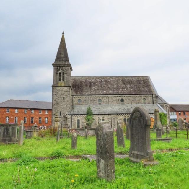 Burial in FarnaneBurial · 831 yd
 Castle Comforthouse · 892 yd
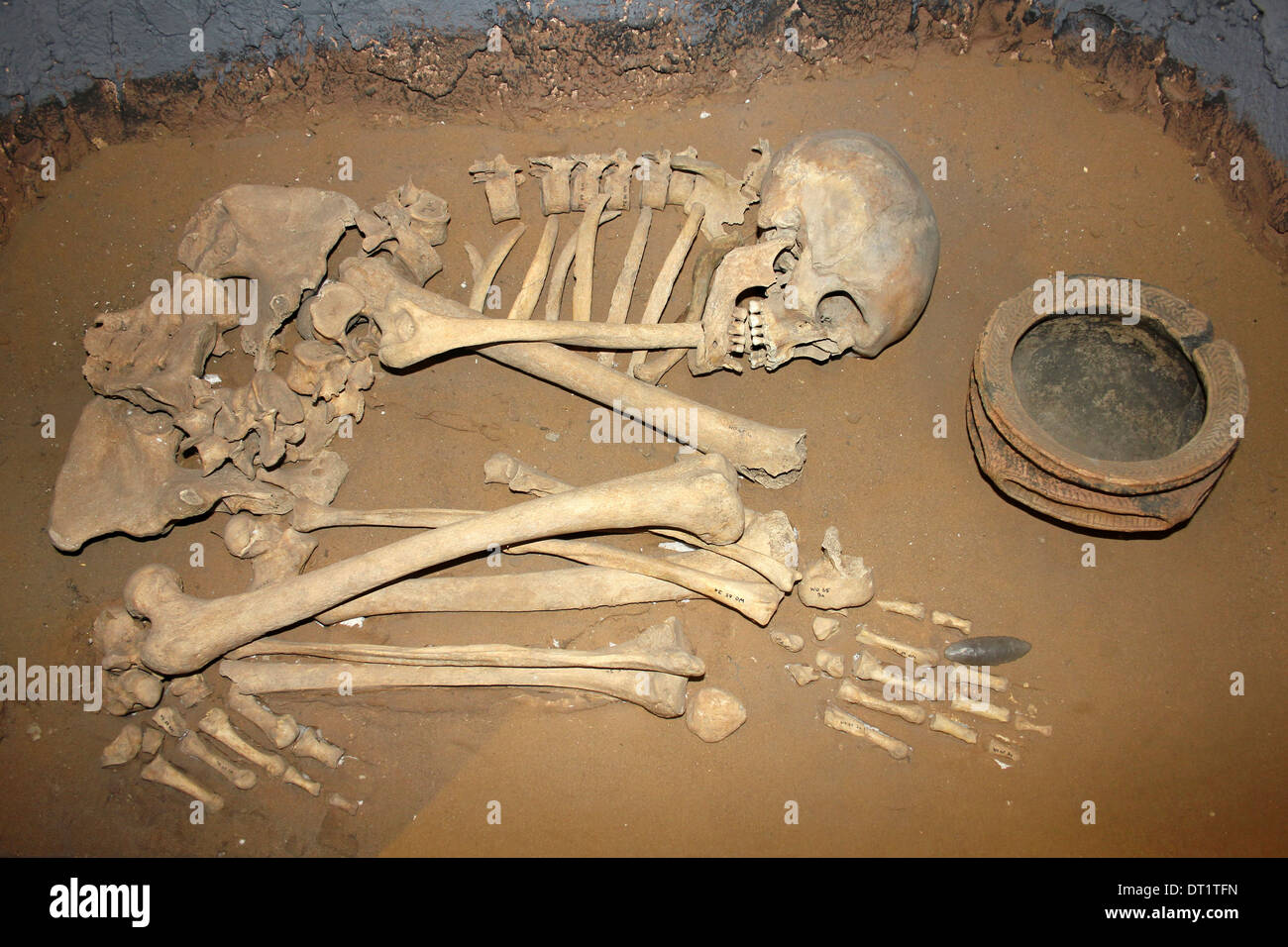 BarrowBarrow, ditch barrow · 958 yd
 Saint John's Church (Abington)church/chapel · 1536 yd
 Sliev Felim WayVisitor information · 1.0 mi
 Graveyard in AbingtonGraveyard · 1.0 mi
 CastleCastle, unclassified · 1.1 mi
 Bawn in RathBawn · 1.9 mi
 Slieve Felim WayWalking route · 4.1 mi
 Slieve FelimMountain / peak · 5.1 mi
 KnockseefinMountain / peak · 6.5 mi
 St. Patrick's WellSpring · 8.4 mi