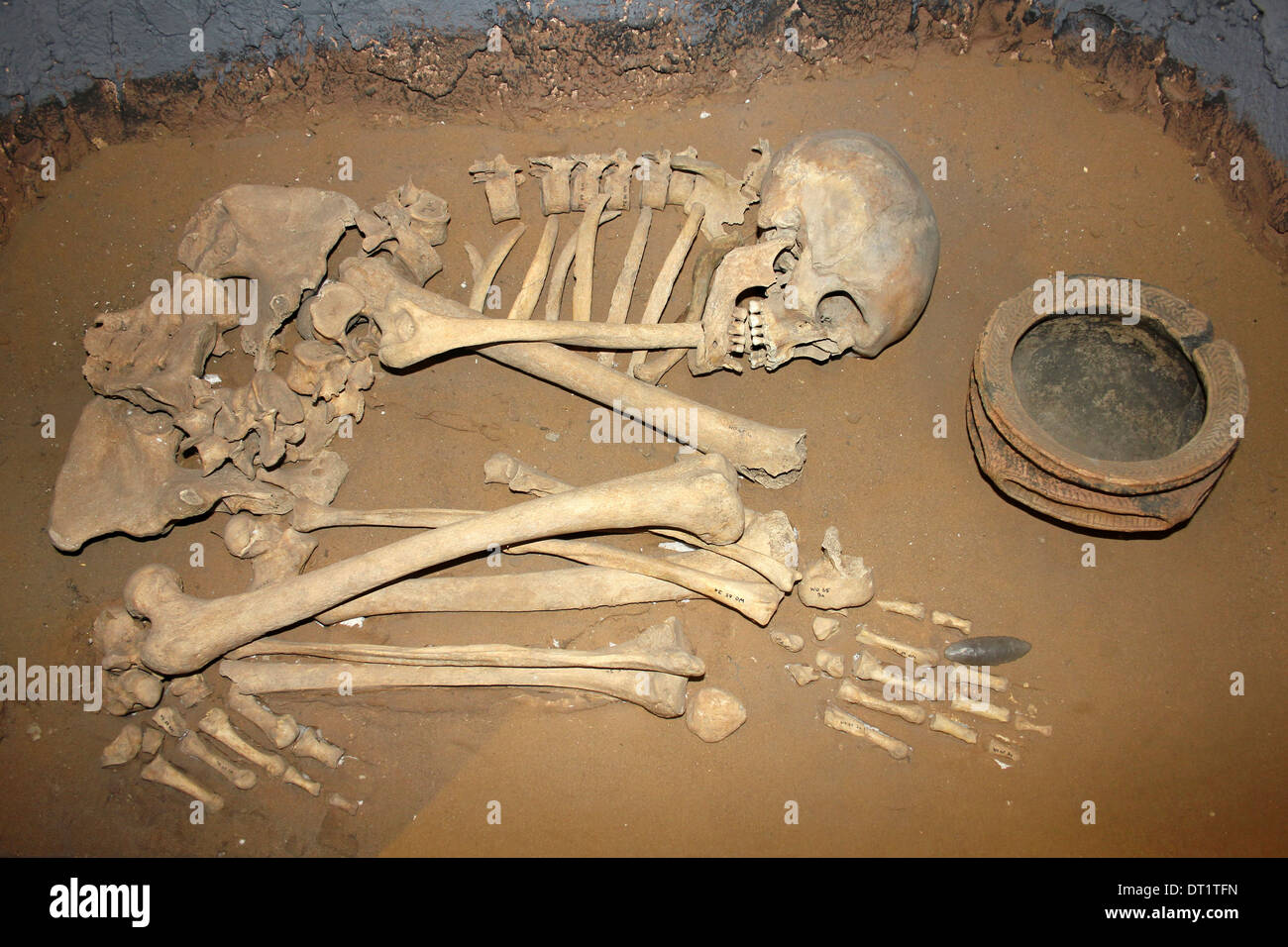
What is recorded here
In reclaimed grassland. Outline of circular-shaped area (approx. diam. 10m) defined by a fosse visible on Digital Globe orthophoto taken 2011-13 and earlier OSi orthoimages. Cropmark of enclosure (LI014-169----) 15m to W. Cropmark visible on Google Earth orthoimage taken 25/03/2017.
See attached Google Earth orthophoto taken 25/03/2017.
Compiled by: Caimin O’Brien
Date of upload: 3 June 2020
Ditch barrow, likely dating to the Early Bronze Age. Its earthwork and fosse features are characteristic of funerary monuments from this period, indicating a significant burial or ceremonial site.
The monument record does not grant public access. Check the route and ask the landowner before entering private land.
- What survives
- Recorded monument
Places near here
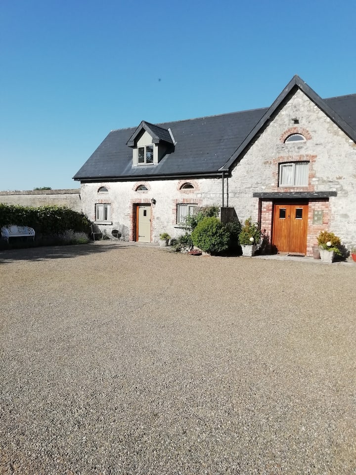 Enclosure in AhacoreEnclosure · 48 yd
 Fulacht fia in MaddyboyFulacht fia · 508 yd
 Maddyboy Househouse · 734 yd
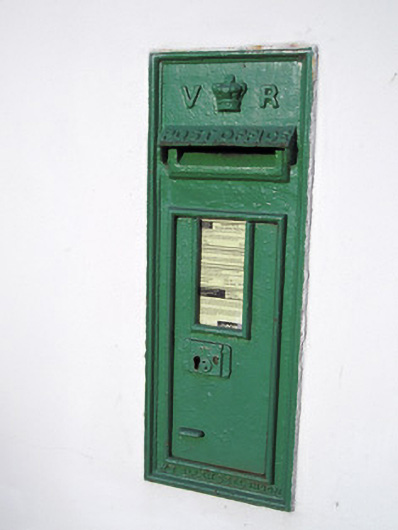 post boxpost box · 1142 yd
 Graveyard in AbingtonGraveyard · 1261 yd
 CastleCastle, unclassified · 1305 yd
 Sliev Felim WayVisitor information · 1.4 mi
 Bawn in RathBawn · 1.7 mi
 Slieve Felim WayWalking route · 4.5 mi
 KnockseefinMountain / peak · 6.2 mi
 St. Patrick's WellSpring · 8.0 mi
 Kilteely HillMountain / peak · 8.5 mi
Other information
Photo: Credit not shown in the picture search · Rights wording not checked; contact us if this picture should be removed