What is recorded here
Quarry trucks choke the throat of Drumpeak now, burying the fort that once held the river bank. It is gone, but the flat ground still remembers the shape of walls nobody built for show. The border water flows past the scar where human hands shaped stone, and the machines dig through layers older than memory. What was defended is forgotten, yet the valley keeps the weight of that lost purpose.
Marked 'Fort' on OS 1836 and 1876 eds. Situated in flat low-lying ground on the S bank of a river which forms part of the border between counties Cavan and Monaghan. The site is now occupied by a quarry.
The above description is derived from the published 'Archaeological Inventory of County Cavan' (Dublin: Stationery Office, 1995). In certain instances the entries have been revised and updated in the light of recent research.
Date of upload/revision: 22 December 2008
The monument record does not grant public access. Check the route and ask the landowner before entering private land.
- What survives
- Recorded monument
Places near here
 Giants GraveArchaeological place · 1470 yd
 Horse-chestnutHorse-chestnut · 1618 yd
 Ice HouseArchaeological place · 1.1 mi
 Castle ruinsCastle, unclassified · 1.1 mi
 Drumerlough MoreMountain / peak · 1.1 mi
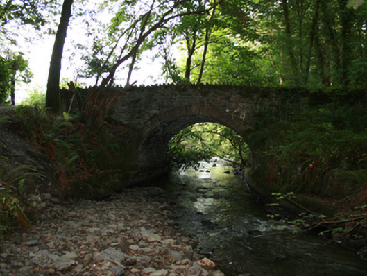 Sarah Bridgebridge · 1.1 mi
 In Memory of Our DadMemorial · 1.2 mi
 Dún a Rí Forest ParkForest · 1.2 mi
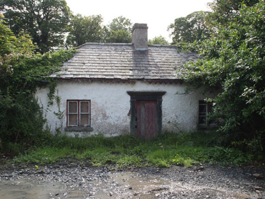 gate lodgegate lodge · 1.3 mi
 Chruch YardGraveyard · 1.3 mi
 CabraMountain / peak · 1.4 mi
 Castle in ruinsCastle, unclassified · 2.6 mi