What is recorded here
Half a circle of shadow presses into the Drumenan soil, joining a larger oval that claims the good land above Lough Foyle. The fort belongs to no visible stone but to the memory of shape, where human hands may have drawn boundaries before forgetting them. It watches the water like a dormant beast, waiting for rain or foot traffic to reveal the rest of its body.
An aerial photograph (St. Joseph, AVR 62) indicates half of a circular cropmark, c. 25m-50m in diameter here. This enclosure seems to have been located to one end of a larger oval enclosure half of which is also indicated. The site which is located in generally good land overlooking Lough Foyle to the E was not inspected.
The above description was derived from the 'Archaeological Survey of County Donegal. A description of the field antiquities of the County from the Mesolithic Period to the 17th century.' Compiled by: Brian Lacey with Eamon Cody, Claire Cotter, Judy Cuppage, Noel Dunne, Vincent Hurley, Celie O'Rahilly, Paul Walsh and Seán Ó Nualláin (Lifford: Donegal County Council, 1983). In certain instances the entries have been revised and updated.
Date of upload: 22 September 2008
The monument record does not grant public access. Check the route and ask the landowner before entering private land.
- What survives
- Recorded monument
Places near here
 Enclosure in DrumenanEnclosure · 993 yd
 Castletown Oldfarm house · 1238 yd
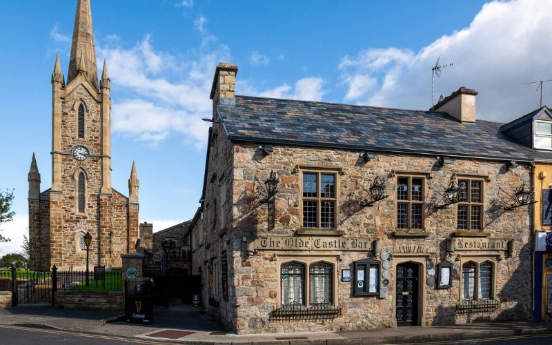 Former Creatland / Gillystown Fairy FortFairy fort / ringfort · 1738 yd
 Mongavlin CastleHouse, fortified house · 1.1 mi
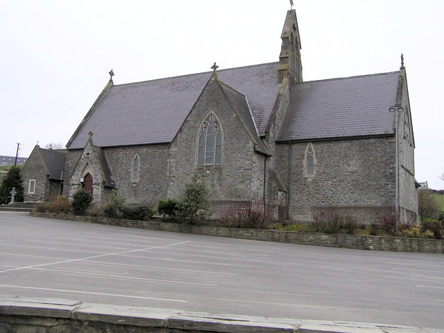 St. Baithin’s Catholic Churchchurch/chapel · 1.3 mi
 BATTLE SITE: BATTLE OF THE FORDS, Northern crossing, 1689 in Ballydonaghy; Greenlaw; LeckpatrickBATTLE SITE: BATTLE OF THE FORDS, Northern crossing, 1689 · 3.0 mi
 Feddyglass WoodWood · 3.2 mi
 CastleCastle, unclassified · 3.2 mi
 Gortmonly HillMountain / peak · 3.7 mi
 Ballee WoodWood · 5.6 mi
 Mongorry HillMountain / peak · 6.0 mi
 Grianán of AileachFairy fort / stone ringfort · 7.8 mi