What is recorded here
Doon Upper holds a faded thirty-nine metre circle where two banks and a narrow ditch once blocked every path. The outer wall still rises from east through south to west, but the rest has surrendered to grass and forgetting. People may have lived inside, feared the dark or simply marked a boundary for herds. The fairies took what remained when human memory thinned.
In level grassland. Poorly preserved circular rath (D 39m) defined by two banks and an intervening fosse. The outer bank survives only from E through S to W.
The above description is derived from the published 'Archaeological Inventory of County Galway Vol. II - North Galway'. Compiled by Olive Alcock, Kathy de hÓra and Paul Gosling (Dublin: Stationery Office, 1999).
Date of upload: 05 August 2010
The monument record does not grant public access. Check the route and ask the landowner before entering private land.
- What survives
- Recorded monument
Places near here
 Man-made underground passage in Cartrondoogan (annagh Ed)Man-made underground passage · 640 yd
 Saint Patrick's Catholic Churchchurch/chapel · 714 yd
 Mass-rock in Ballydoogan (kilconnell By.)Mass-rock · 799 yd
 Site of Doon CastleCastle, unclassified · 1144 yd
 Ballynabanaba CastleCastle, tower house · 1.4 mi
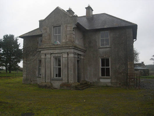 Fohanagh Househouse · 1.4 mi
 SycamoreSycamore · 1.5 mi
 Sweet ChestnutSweet Chestnut · 1.8 mi
 Kilconnell AbbeyHeritage attraction · 3.3 mi
 Battle of Aughrim Interpretative CentreMuseum · 6.1 mi
 Battle of AughrimMajor battlefield · 6.7 mi
 The bloody HollowHeritage attraction · 6.9 mi