What is recorded here
Donaghmore held a rare double-ring fort on a gravel ridge, its outer wall flaring twenty metres north before field boundaries swallowed the remainder. The inner circle still rises one and a half metres above the flat valley, offering unbroken views in every direction. Quarrying and roadworks have since torn away much of that visibility, leaving behind a truncated platform rather than a complete dwelling. What remains is enough to show that the site was built to be seen, defended and remembered.
On a gravel ridge on a flat valley floor with good views in all directions. The 1st (1839) ed. OS 6-inch map suggests that this was a bivallate enclosure, with the outer enclosing element being close and largely concentric with the inner enclosure to the E-S-WSW, and becoming wider from W-N-E, extending c. 20m N of the inner enclosure. The N half of this outer enclosure appears to have been incorporated in the field boundaries. The inner enclosure, appears to have been a roughly circular platform (max. diam. c. 42-47m; H 1.8m) with traces of a slight earthen bank and remains of an external fosse (Wth 2.5m; D c. 0.8m) at E. By 1987 the W half of the inner enclosure had been destroyed by quarrying and the S sector had been damaged by a roadway.
Compiled by: Jean Farrelly
Date of upload: 7 November 2018
The monument record does not grant public access. Check the route and ask the landowner before entering private land.
- What survives
- Recorded monument
Places near here
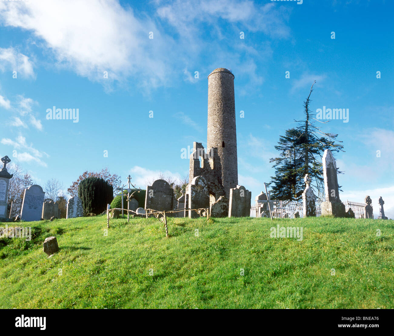 Enclosure in Donaghmore (fassadinin By.)Enclosure · 258 yd
 Enclosure in Oldtown (fassadinin By.)Enclosure · 512 yd
 Donaghmore Church (in ruins)Church · 667 yd
 Donaghmore WellSpring · 794 yd
 CastleCastle, unclassified · 1208 yd
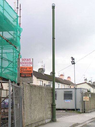 vent pipevent pipe · 1552 yd
 Ballyragget Cas.Castle, tower house · 1671 yd
 Graveyard in SraleaghGraveyard · 1.9 mi
 Anker's IslandIsland · 2.9 mi
 Graveyard in ThreecastlesGraveyard · 4.4 mi
 Red horse-chestnutRed horse-chestnut · 4.5 mi
 Turkey OakTurkey Oak · 4.6 mi