
What is recorded here
Castle, unclassified stood above the Nore valley flood plain in Connahy, belonging to Ormonde until about 1700 and later occupied by a respectable Purcell branch. The Down Survey still called it a castle in repair, yet quarrying and later farmyard work removed most of what it showed. What remains is a absent shape at the foot of eastern slopes, remembered through rock, tillage and the valley view it once commanded.
At the foot of slopes rising up to the E hills of the Nore river valley, well above the flood plain, in tillage. Adjacent to much quarried rock outcrop. There are good views N-S along, and W across, the valley. On the Down Survey (1655-6) parish map of Conohy, ‘a Castle in repayre’ is depicted in Connahy townland. The terrier accompanying this map records, ‘a Castle in repaire and some Cabbins [KK010-092992-] at Conohye’. According to Carrigan (1905, vol. 2, 194), 'The castle in Conahy Rocks, though "in repayre" at the time of the Down Survey, has now all but entirely disappeared. It belonged to the Ormonde family till about 1700. During the latter part of the 17th century and most of the 18th, it was occupied by a very respectable branch of the Purcell family'. The castle, though no longer visible at ground level, was located at the W end of a farmyard. The area of the castle was redeveloped in the 1950s.
Compiled by: Jean Farrelly
Date of upload: 9 January 2019
The monument record does not grant public access. Check the route and ask the landowner before entering private land.
- What survives
- Recorded monument
Places near here
 Connahy Ringfort (rath)Archaeological place · 271 yd
 Enclosure in ConnahyEnclosure · 408 yd
 Donaghmore WellSpring · 1699 yd
 Donaghmore Church (in ruins)Church · 1.1 mi
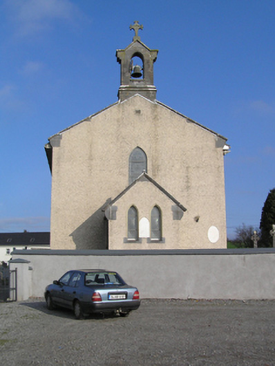 Saint Colman's Catholic Churchchurch/chapel · 1.1 mi
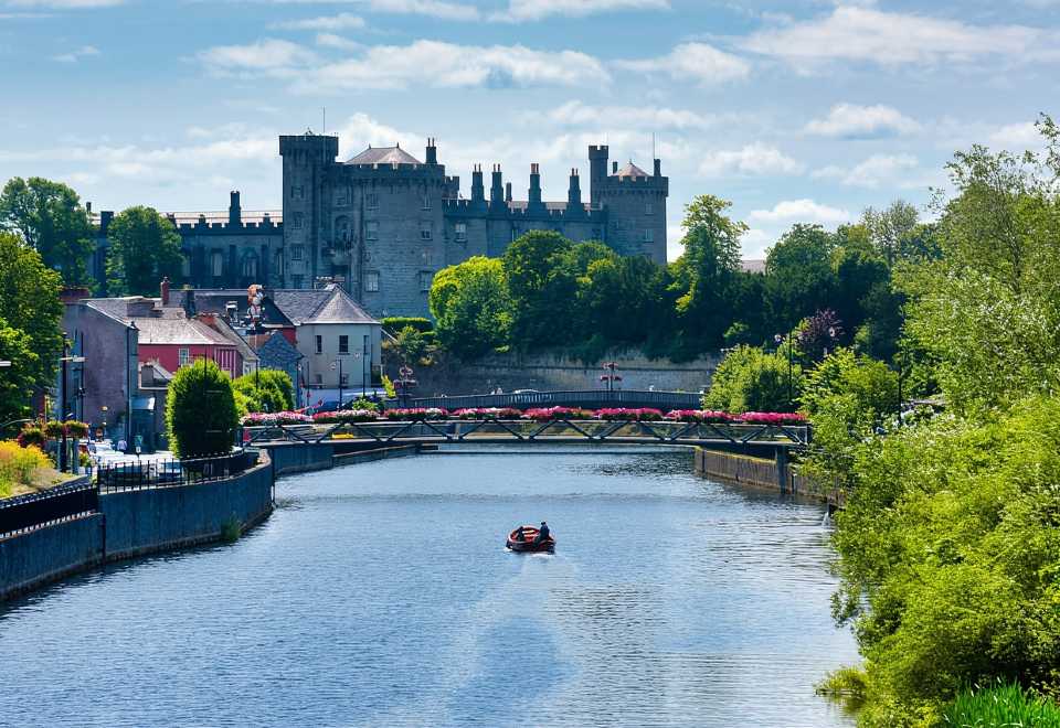 Site of Shanganny CastleCastle, unclassified · 1.3 mi
 Foulksrath CastleCastle, tower house · 1.3 mi
 Jenkinstown ParkForest · 3.2 mi
 Anker's IslandIsland · 3.6 mi
 Graveyard in ThreecastlesGraveyard · 3.9 mi
 Turkey OakTurkey Oak · 4.1 mi
 Emma Jane Browne-ClaytonMemorial · 4.5 mi
Other information
Photo: Credit not shown in the picture search · Rights wording not checked; contact us if this picture should be removed