What is recorded here
One of two forts is marked on the 1835 map, but neither shows at ground level today. The drawing preserves what the land has since taken back: a shallow oval, broad along one diagonal and narrow across it, set on a flat rise above rock and pasture. The lake keeps the southern edge company, while the missing ridge withdraws into grass. What is certain is the shape recorded at Derrymacoffin; what is lost is the fort that gave that shape its meaning.
Situated on a rise in an area of rock outcrop and pasture with the S shore of the north part of St John's Lough c. 30m to the N. It is depicted as an oval enclosure (dims c. 50m NW-SE; c. 20m NE-SW) and described as a 'fort' on the 1835 edition of the OS 6-inch map. It is not visible at ground level on a flat-topped rise (dims c. 30m E-W; c. 15m N-S).
The above description is derived from 'The Archaeological Inventory of County Leitrim' compiled by Michael J. Moore (Dublin: Stationery Office, 2003). In certain instances the entries have been revised and updated in the light of recent research.
Date of upload: 13 December 2011
The monument record does not grant public access. Check the route and ask the landowner before entering private land.
- What survives
- Recorded monument
Places near here
 Buck IslandIsland · 305 yd
 Crane IslandIslet · 547 yd
 Fairy fort / ringfort in AghavaddenFairy fort / ringfort · 1349 yd
 CastleCastle, tower house · 1.0 mi
 CoolkillChurch · 1.1 mi
 St. Patricks WellHoly well · 1.2 mi
 CastleforeCastle, tower house · 1.7 mi
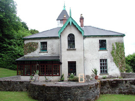 Lawderdale Housecountry house · 2.2 mi
 European ashEuropean ash · 2.9 mi
 DrumbadMountain / peak · 2.9 mi
 Cromlin Bridge WoodWood · 3.1 mi
 DrumgownaghMountain / peak · 4.8 mi