What is recorded here
Conally's Fort in Darrary South is a slight circular rise about thirty-five metres across, all that survives of an earthen structure on a gentle pastureland ridge. It is unclear whether Conally was a local chieftain, a wandering trader or a forgotten landlord, but the fort still marks the exact spot where someone believed they needed a defensible boundary. The earth has swallowed most of the wall, yet the circle remains visible enough to stop a walker and force them to imagine the lives lost inside it.
On a gentle rise in undulating pastureland. Described by Neary (1914, 121, no. 74) as a 'circular, earthen fort'; known as 'Conally's Fort'. A slight circular rise (D c. 35m) is all that survives of this monument.
The above description is derived from the published 'Archaeological Inventory of County Galway Vol. II - North Galway'. Compiled by Olive Alcock, Kathy de hÓra and Paul Gosling (Dublin: Stationery Office, 1999).
Date of upload: 05 August 2010
The monument record does not grant public access. Check the route and ask the landowner before entering private land.
- What survives
- Recorded monument
Places near here
 Abbey in ruinsChurch · 730 yd
 CrossCross, High cross (present location) · 746 yd
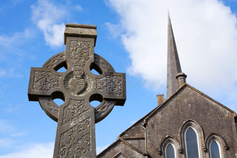 Stone CrossCross, High cross · 796 yd
 Site of Doonbally CastleCastle, unclassified · 2.3 mi
 Church in ConagherChurch · 2.4 mi
 Dunmore CastleCastle · 2.5 mi
 Slieve DartMountain / peak · 5.7 mi
 European ashEuropean ash · 6.3 mi
 Mass RockNamed rock · 8.0 mi
 KnockmaaWood · 11 mi
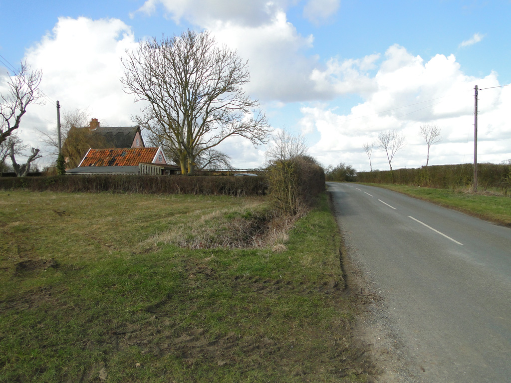 Cuckoo HillFairy fort / ringfort · 799 yd
 Cloonagh FortHilltop enclosure · 1500 yd