What is recorded here
Fairy forts are not fairy forts at all. They are ordinary ringforts, misnamed because people stopped understanding them. Curraghomongan may have had one on its slope above the River Finn. The fort has vanished or was never more than a map mark. What remains is the shape of a room someone lived in, reduced to a name and a forgotten place.
There is no sign of the single-ringed 'Fort' marked on the OS 6-inch maps. It was situated on a S-facing slope running down to the River Finn.
The above description was derived from the 'Archaeological Survey of County Donegal. A description of the field antiquities of the County from the Mesolithic Period to the 17th century.' Compiled by: Brian Lacey with Eamon Cody, Claire Cotter, Judy Cuppage, Noel Dunne, Vincent Hurley, Celie O'Rahilly, Paul Walsh and Seán Ó Nualláin (Lifford: Donegal County Council, 1983). In certain instances the entries have been revised and updated.
Date of upload: 22 September 2008
The monument record does not grant public access. Check the route and ask the landowner before entering private land.
- What survives
- Recorded monument
Places near here
 Enclosure in CregganEnclosure · 1037 yd
 Fort and CaveFairy fort / ringfort · 1730 yd
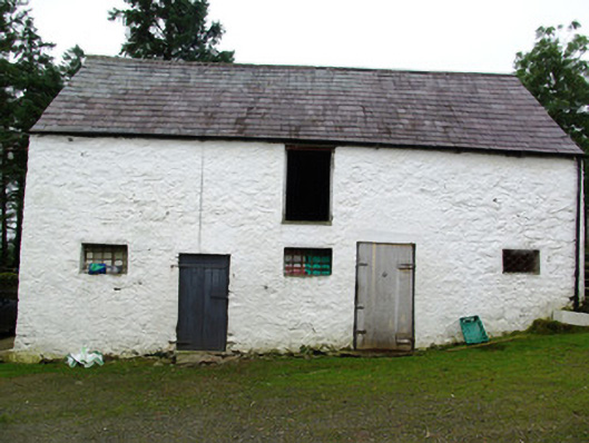 outbuildingoutbuilding · 1.0 mi
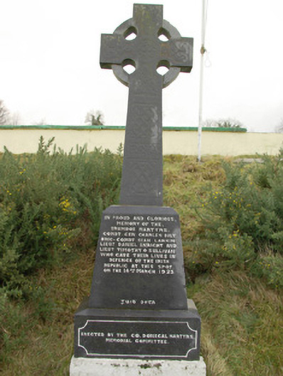 Drumboe Martyrs Memorialmonument · 1.4 mi
 Drumboe WoodForest recreation place · 1.7 mi
 Gorey HillMountain / peak · 2.1 mi
 Castle (Site of)Castle, unclassified · 3.8 mi
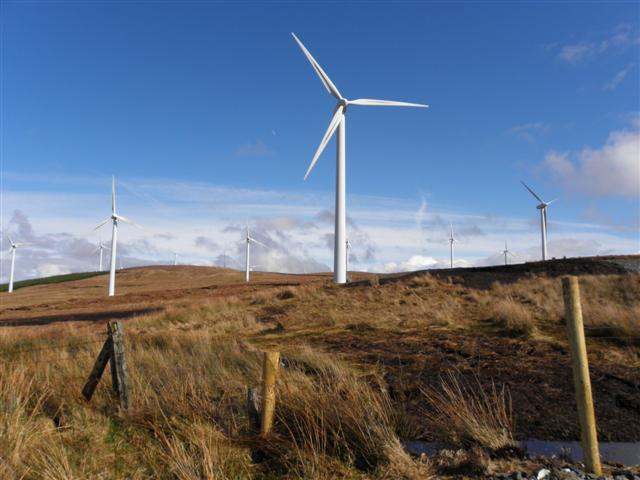 Three TopsMountain / peak · 4.5 mi
 Bawn in Killynure OR Wilsons FortBawn · 5.1 mi
 Newmills Corn and Flax MillsHeritage attraction · 7.9 mi
 Battle of Scarrifholisbattle · 8.2 mi
 Killeter ForestForest · 9.3 mi