What is recorded here
Quarrying and ploughing have bitten into the south and west, leaving a broken circle on a grassy hummock where a field boundary now crosses ancient earth. The surviving bank and fosse suggest a small dwelling or exclusion zone, yet the missing wall invites imagination about who lived there and why they marked the edge. A four-metre gap at the southeast may have been the entrance, inviting people in while keeping something else at a distance.
On a hummock in undulating grassland. Poorly preserved subcircular rath (N-S 34m, E-W 29m) defined by a bank and external fosse. The bank is present at S and elsewhere a scarp, overlain from SSW to W by a field boundary, forms the enclosing element. The fosse survives from NE through E to S. A gap (Wth 4m) at SE may be original. Quarrying has encroached upon the enclosing elements from S to SW.
The above description is derived from the published 'Archaeological Inventory of County Galway Vol. II - North Galway'. Compiled by Olive Alcock, Kathy de hÓra and Paul Gosling (Dublin: Stationery Office, 1999).
Date of upload: 05 August 2010
The monument record does not grant public access. Check the route and ask the landowner before entering private land.
- What survives
- Recorded monument
Places near here
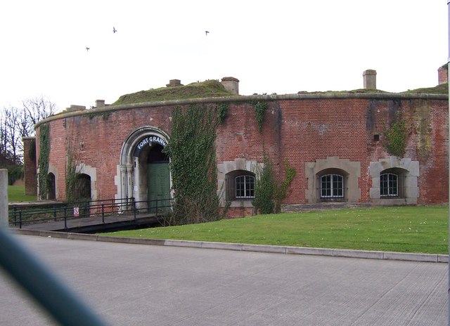 Childrens FortFairy fort / earthen ringfort · 708 yd
 Enclosure in Grange (clonmacnowen By.)Enclosure · 1030 yd
 West WoodWood · 1621 yd
 Urraghry HillMountain / peak · 1629 yd
 IndicatedChurch · 1698 yd
 Castle (Site of)Castle, Anglo-Norman masonry castle · 1.3 mi
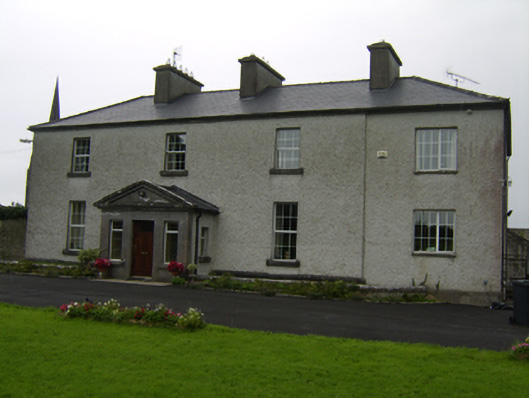 The Rectoryrectory/glebe/vicarage/curate's house · 1.3 mi
 Battle of Aughrim Interpretative CentreMuseum · 1.5 mi
 The bloody HollowHeritage attraction · 1.6 mi
 Battle of AughrimMajor battlefield · 1.7 mi
 Oak WoodWood · 1.9 mi
 Ballagh Castle (in Ruins)Castle, unclassified · 2.7 mi