What is recorded here
Situated on relatively low lying wet grassland, with views from the site restricted by rising undulating land. The field fence which marks the townland boundary with Leny is 40m to E. Described in 1972 as a sub-circular shaped area (approx. diam. 18m E-W) enclosed by a poorly preserved earthen bank (Wth 3.8m; H 0.3m) and slight external fosse. The fosse is only visible from E-S-NW. The interior has been disturbed by cattle. The monument was levelled some time between March 1972 and July 1973 when it was described as a monument recently levelled. No surface remains visible of levelled monument and no cropmark of monument visible on Digital Globe aerial photograph taken November 2011.
Compiled by: Frank Coyne and Caimin O'Brien
Date of upload: 13 June 2017
The monument record does not grant public access. Check the route and ask the landowner before entering private land.
- What survives
- Recorded monument
Places near here
 Carrick CastleCastle · 992 yd
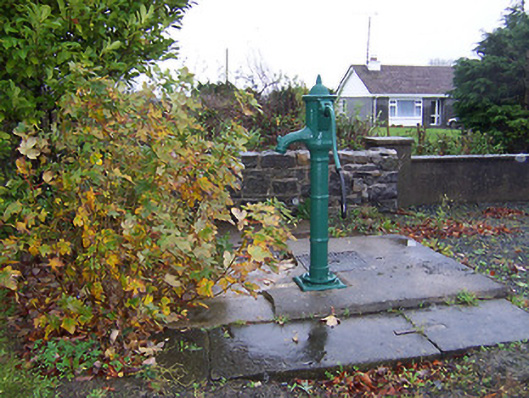 water pumpwater pump · 1262 yd
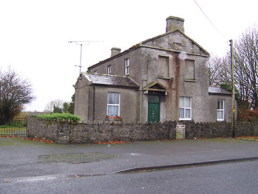 RIC barracksRIC barracks · 1315 yd
 CastleCastle, unclassified · 1389 yd
 Crannog in Cullenhugh,lough IronCrannog · 1470 yd
 Ecclesiastical enclosure in LenyEcclesiastical enclosure · 1.2 mi
 Baronstown ForestWood · 2.5 mi
 Horse-chestnutHorse-chestnut · 2.6 mi
 Bridge Memorial (Kenna)Memorial · 2.8 mi
 Carrickphilbin IslandIslet · 4.3 mi
 Srudarra IslandIslet · 5.0 mi
 Rock of CurryCliff · 9.4 mi