What is recorded here
Creeraun holds a subrectangular ringfort on a Galway hill summit, its double banks and central ditch still marking a lost boundary. Quarrying has bitten through the south interior, leaving a T-shaped hollow and scattered boulders that tempt the mind toward hidden passages, though no wall or lintel remains to prove it. The north edge keeps a stone wall beside the ditch, while the outer bank has vanished without a trace. What is left feels less like a ruined house than a struck nerve, exposing the sharp edge beneath the gentle grass.
On a hill summit in gently undulating grassland. Subrectangular rath (E-W 41.5m, N-S 38.5m), in fair condition, defined by two banks and an intervening fosse. The inner bank has been disturbed at NW and S by quarrying. A stone wall runs along perimeter of the fosse at N, outside of which there is no trace of the outer bank. A causeway, possibly modern, crosses the fosse at S. Most of S half of the interior has been quarried out and a large roughly T-shaped hollow is visible. A number of boulders lying about suggest that this is possibly a dug out Man-made underground passage, however, no trace of walling or lintels survives.
The above description is derived from the published 'Archaeological Inventory of County Galway Vol. II - North Galway'. Compiled by Olive Alcock, Kathy de hÓra and Paul Gosling (Dublin: Stationery Office, 1999).
Date of upload: 05 August 2010
This remains an important historical record, but the official description says the monument is no longer visible or has been destroyed. The monument record does not grant public access. Check the route and ask the landowner before entering private land.
- What survives
- No visible remains or recorded as destroyed
Places near here
 CrossmalooCross, Wayside cross · 1.0 mi
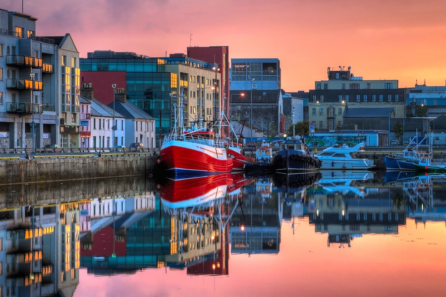 Tober MaoileHoly well · 1.1 mi
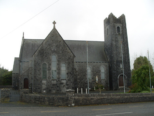 Saint Michael's Catholic Churchchurch/chapel · 1.3 mi
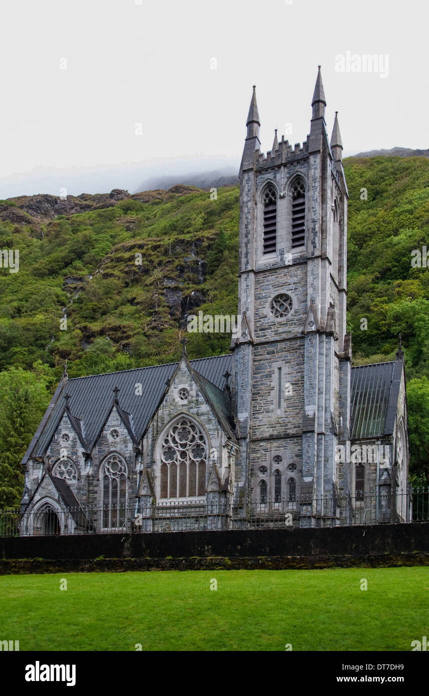 Killooaun Church in ruinsChurch · 1.5 mi
 Woodlawn WoodsForest · 3.7 mi
 Menlough IRAMemorial · 3.7 mi
 European Crab AppleEuropean Crab Apple · 3.7 mi
 Tiaquin Castle (Site of)Castle, unclassified · 4.1 mi
 Garbally Castle (in ruins)Castle, tower house · 4.4 mi
 Kilconnell AbbeyHeritage attraction · 6.7 mi
 Battle of Aughrim Interpretative CentreMuseum · 11 mi
 Battle of AughrimMajor battlefield · 11 mi