What is recorded here
Quarrying bit into the north-east bank and grass now strangles the rest, but the fort still holds its shape in Corraneena. Two ridges and a hollow between them draw an oval fifty metres across, large enough for rooms, herds or argument. The missing northern edge does not disappear; it moved into roads, walls or memory. What remains is a bruised line in the grassland, waiting for someone to walk it without measuring.
In undulating grassland. Poorly preserved and densely overgrown subcircular rath (NE-SW c. 50.5m, N-S c. 45m) defined by two banks and an intervening fosse. No visible surface trace of the outer bank survives from NW through N to NE; quarrying has encroached upon the monument from N to NE.
The above description is derived from the published 'Archaeological Inventory of County Galway Vol. II - North Galway'. Compiled by Olive Alcock, Kathy de hÓra and Paul Gosling (Dublin: Stationery Office, 1999).
Date of upload: 05 August 2010
The monument record does not grant public access. Check the route and ask the landowner before entering private land.
- What survives
- Recorded monument
Places near here
 Man-made underground passage in Ballyglass (kilconnell By.)Man-made underground passage · 463 yd
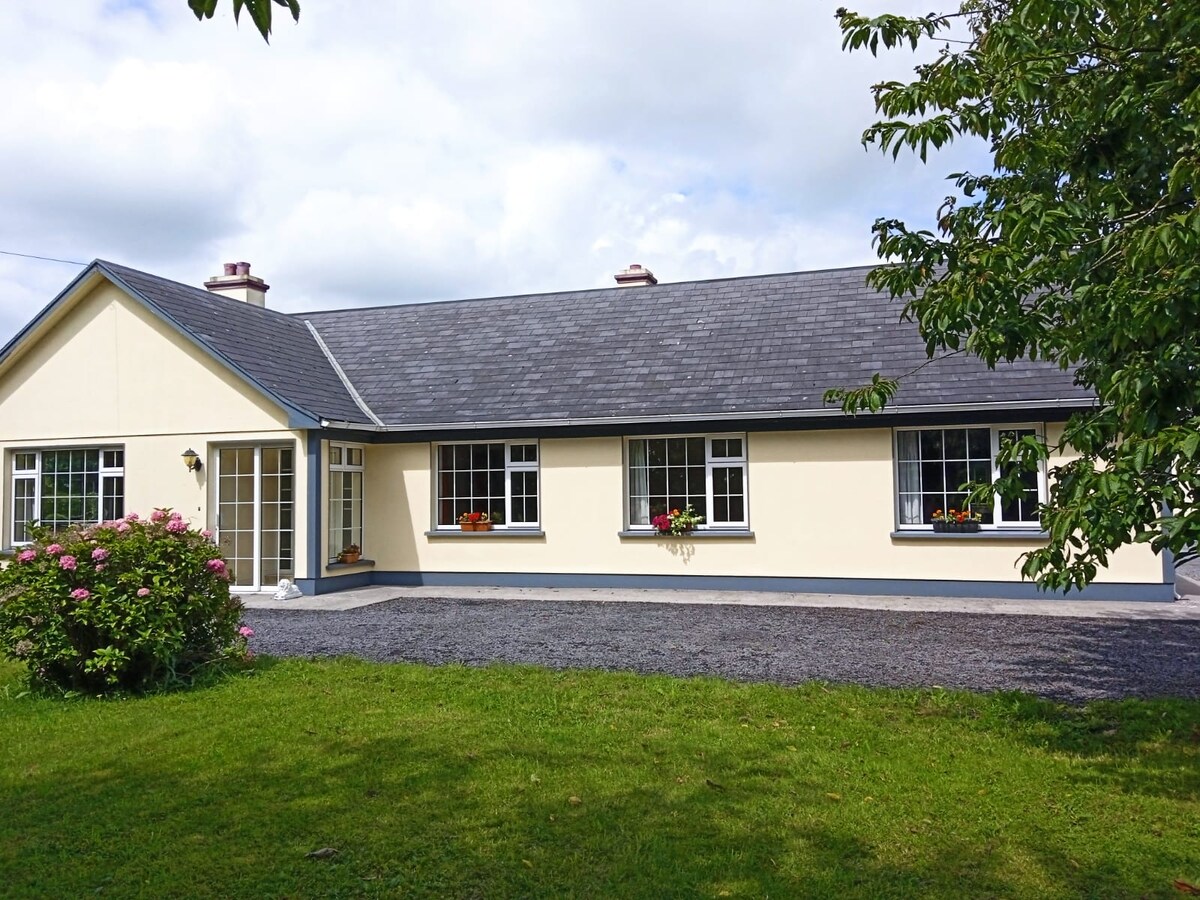 Buxtown HouseHouse, 18th/19th century · 631 yd
 Man-made underground passage in Ballintober (killaan Ed)Man-made underground passage · 799 yd
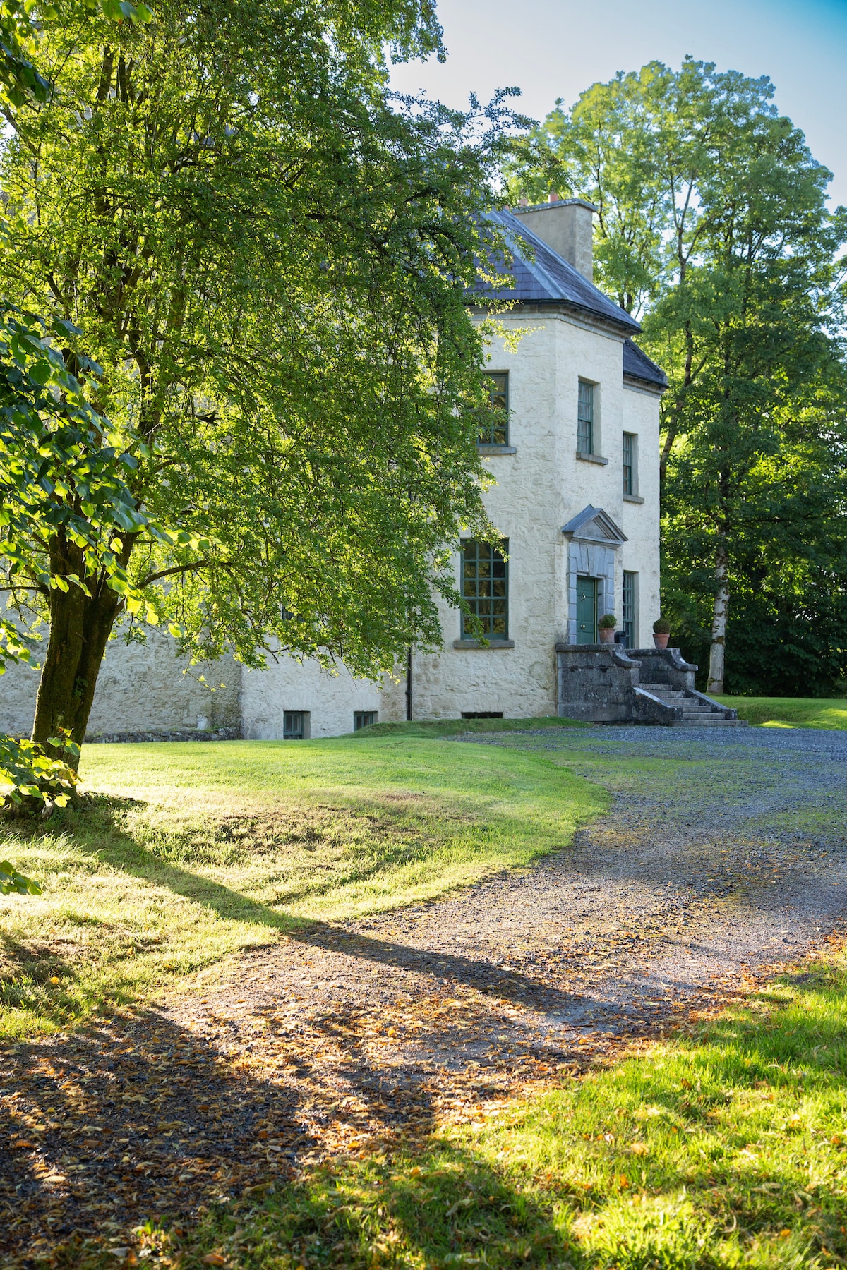 Quarry in Ballinderry (kilconnell By.)Quarry · 974 yd
 Kilconnell AbbeyHeritage attraction · 1758 yd
 CastleCastle, unclassified · 1.5 mi
 Site of Lisnamoltaun CastleCastle, unclassified · 1.8 mi
 Large-leaved LimeLarge-leaved Lime · 2.0 mi
 Western RedcedarWestern Redcedar · 2.6 mi
 Battle of Aughrim Interpretative CentreMuseum · 4.5 mi
 Battle of AughrimMajor battlefield · 4.9 mi
 The bloody HollowHeritage attraction · 5.2 mi