What is recorded here
Fairy forts are often called forts because they look like small defensive rings, but the name may also preserve older beliefs about the place. This one in Cornastauk measured about twenty by fifteen metres on the 1835 map, sitting low beside the Bonet River. A house and garden occupy the site now, yet the drawing preserves its shape: a compact oval ring in a quiet valley, large enough for a household or a hidden belief, but small enough to disappear into ordinary life.
Indicated faintly as a small oval embanked enclosure (ext. dims c. 20m E-W; c. 15m N-S) on the 1835 ed. of the OS 6-inch map where it is described in gothic lettering as a 'Fort'. It is situated in a low-lying position on the valley floor the N-S Bonet River, with the stream c. 150m to the E. The site is now occupied by a house and garden.
The above description is derived from 'The Archaeological Inventory of County Leitrim' compiled by Michael J. Moore (Dublin: Stationery Office, 2003). In certain instances the entries have been revised and updated in the light of recent research.
Date of upload/revision: 13 December 2011
The monument record does not grant public access. Check the route and ask the landowner before entering private land.
- What survives
- Recorded monument
Places near here
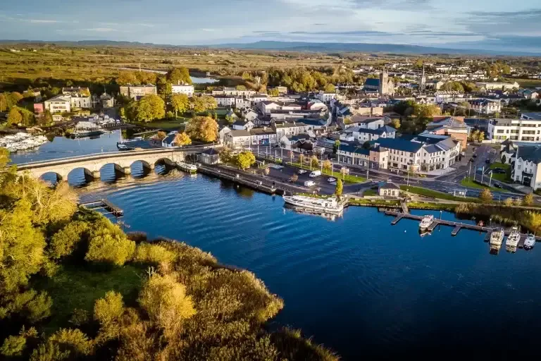 IndicatedFairy fort / ringfort · 738 yd
 Giants RockNamed rock · 787 yd
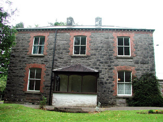 The Rectoryrectory/glebe/vicarage/curate's house · 1685 yd
 Manorhamilton Courthousecourt house · 1737 yd
 Ecclesiastical enclosure in CloonclareEcclesiastical enclosure · 1.1 mi
 BenboMountain / peak · 1.4 mi
 The Giants GraveArchaeological place · 2.1 mi
 Ashisland WoodForest · 2.4 mi
 Castle CarCastle · 2.5 mi
 Longhill WoodForest · 2.5 mi
 Kilroosk RockNamed rock · 2.9 mi
 Green IslandIslet · 4.3 mi