What is recorded here
Fairy fort / ringfort in Cornagarvoge stands on a drumlin ridge in County Monaghan, Ireland. Its circular embankment measured about thirty-five metres across when mapped in 1834. No trace remains visible in the pasture now, yet the fort still belongs to the land beneath the grass.
Located towards the bottom of the NW-facing slope of a NW-SE drumlin ridge. An embanked circular enclosure (ext. diam. c. 35m) is depicted on the 1834 edition of the OS 6-inch map where it is described in gothic lettering as a ‘fort’. No archaeological feature is visible at ground level in pasture.
The above description is derived from the published 'Archaeological Inventory of County Monaghan' (Dublin: Stationery Office, 1986). In certain instances the entries have been revised and updated in the light of recent research.
Date of revision: 27 July 2017
The monument record does not grant public access. Check the route and ask the landowner before entering private land.
- What survives
- Recorded monument
Places near here
 Pit-burial in CornagarvogePit-burial · 307 yd
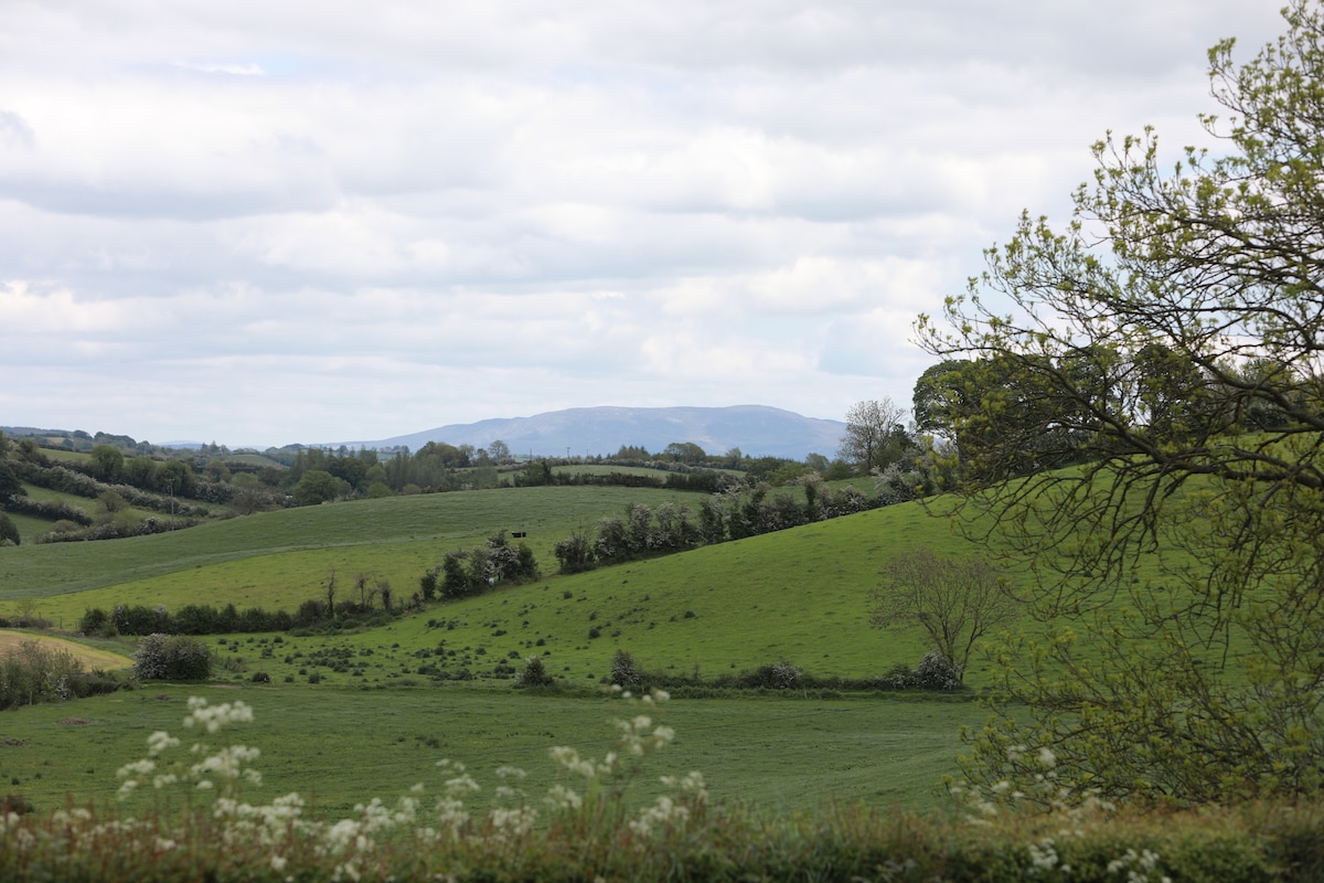 LisawollyFairy fort / earthen ringfort · 502 yd
 bridgebridge · 1656 yd
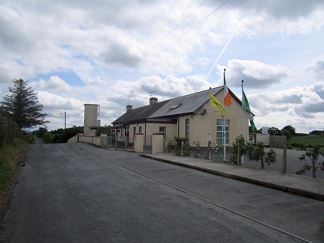 Stonetown National Schoolschool · 1.1 mi
 CastleCastle, unclassified · 1.1 mi
 Mount AshCastle, motte · 3.3 mi
:no_upscale()/cdn.vox-cdn.com/uploads/chorus_asset/file/25593391/County_Louth_6th.jpg) LouthMountain / peak · 3.4 mi
LouthMountain / peak · 3.4 mi Flat cemetery in AnnaheanFlat cemetery · 4.8 mi
 Ballsmill Amenity LandPicnic place · 7.0 mi
 Sky HillMountain / peak · 7.0 mi
 Photo GalleryHeritage attraction · 7.4 mi
 Dundalk CentralHeritage attraction · 7.4 mi