What is recorded here
False memory. The ringfort at Corcrin is a real embanked enclosure, not a fairy tale. It stands on a drumlin crest in County Monaghan, with another ringfort sixty metres to the southeast. The first may have vanished under pasture or never existed at all, but the second remains recorded and locatable.
Located at the crest of the N-facing slope of a drumlin. It is depicted as an embanked enclosure (ext. diam. c. 35m) described as a ‘fort’ in gothic lettering only on the 1834 edition of the OS 6-inch map. No archaeological feature is visible at ground level in pasture. Ringfort (MO031-051----) is c. 60m to the SE.
The above description is derived from the published 'Archaeological Inventory of County Monaghan' (Dublin: Stationery Office, 1986). In certain instances the entries have been revised and updated in the light of recent research.
Date of revision: 28 July 2017
The monument record does not grant public access. Check the route and ask the landowner before entering private land.
- What survives
- Recorded monument
Places near here
 Corcrin Bridgebridge · 440 yd
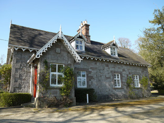 Corcrin Househouse · 871 yd
 Man-made underground passage in RossdreenaghMan-made underground passage · 1103 yd
 Man-made underground passage in TrostanMan-made underground passage · 1307 yd
 Mannan Castle (in ruins)Castle, Anglo-Norman masonry castle · 2.2 mi
 European BeechEuropean Beech · 2.4 mi
 CastleCastle, motte and bailey · 2.5 mi
 Monkey-puzzleMonkey-puzzle · 2.6 mi
 TobernagalliaghSpring · 3.5 mi
 Flat cemetery in AnnaheanFlat cemetery · 4.1 mi
 BarleyhillMountain / peak · 5.8 mi
:no_upscale()/cdn.vox-cdn.com/uploads/chorus_asset/file/25593391/County_Louth_6th.jpg) LouthMountain / peak · 6.4 mi
LouthMountain / peak · 6.4 mi