What is recorded here
Coolnacrutta holds a damaged ringfort on the flat Goul valley floor, where a road, farm track, buildings and lime-kiln quarrying have cut through its enclosing bank. What remains is a broad flat interior, about twenty-five by thirty metres, still standing slightly above the roadside grass. It may have been a home, a boundary marker or a forgotten gathering place, but human traffic has chewed it into a shallow dish between ordinary fields.
On the flat floor of the Goul river valley, between two farmyards, in grassland. The enclosing element of this monument has been badly damaged. It has been truncated by a road in the N quadrant, by a farm track in the S quadrant and by farm buildings in the W quadrant. The E quadrant has been damaged by quarrying associated with a lime kiln. A flat area of the interior (dims. c. 25m x 30m; H above road 1.2m) survives, which is level with the external ground level to the S and W.
Compiled by: Jean Farrelly
Date of upload: 2 February 2016
The monument record does not grant public access. Check the route and ask the landowner before entering private land.
- What survives
- Recorded monument
Places near here
 Enclosure in GlashareEnclosure · 820 yd
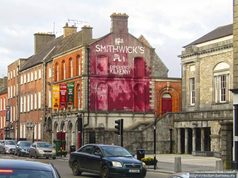 Glashare Ringfort (rath)Archaeological place · 1246 yd
 Glashare CastleCastle, tower house · 1389 yd
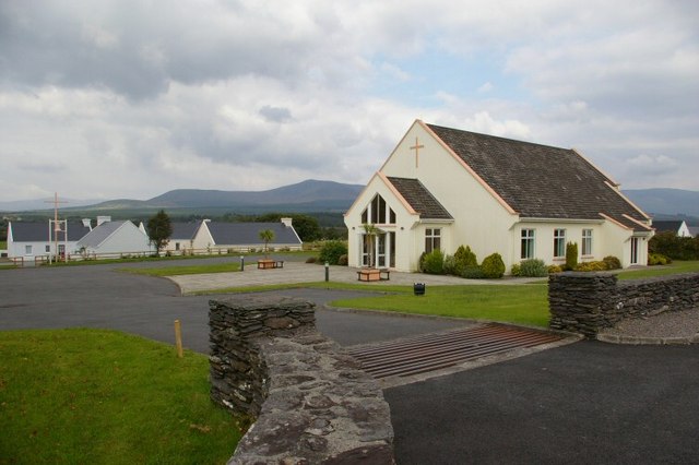 Church in GlashareChurch · 1426 yd
 Street fieldArchaeological place · 1546 yd
 Abbey (in ruins)Religious house, unclassified · 1743 yd
 Bawn in AghmacartBawn · 1.4 mi
 Cnoc SeanrathaMemorial · 3.0 mi
 DelaneyMemorial · 3.8 mi
 Big WoodWood · 3.9 mi
 Clomantagh HillMountain / peak · 4.1 mi
 Anker's IslandIsland · 6.8 mi