What is recorded here
Depicted as a circular enclosure with trees on perimeter on the 1837 OS Fair Plan map, annotated ‘Rathmore’, with a gravel pit outside bank at SE. Depicted as a circular-shaped monument with roadway running SE from SE edge of monument. Possible ringfort re-used as a tree-ring in the post 1700 period. Conlanstown House located 445m to NW. Present remains consist of an elongated oval-shaped area (approx. diam. 33m NNW-SSE; 19m ENE-WSW) enclosed by a poorly preserved earthen bank. The bank is fragmentary, and there is a possible entrance gap (Wth 1.1m) at NNW. Just inside the bank in the E quadrant of the interior are four large stone slabs, two set on edge side by side, and one lying flat with the fourth lying against it. To the E of the centre is another large grass-covered slab. There are several tree trunks in the interior, possibly as the result of the site being reused as a tree ring. There is a large depression at the ESE side of the monument, probably the result of quarrying.
Compiled by: Frank Coyne and Caimin O'Brien
Date of upload: 8 June 2017
The monument record does not grant public access. Check the route and ask the landowner before entering private land.
- What survives
- Recorded monument
Places near here
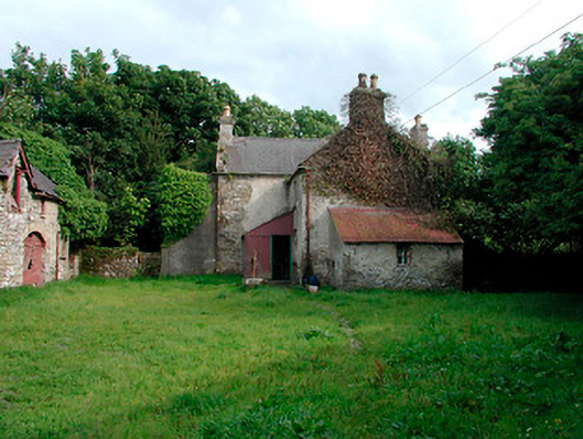 farm house, farmyard complexfarm house, farmyard complex · 145 yd
 Site of CastleCastle, unclassified · 591 yd
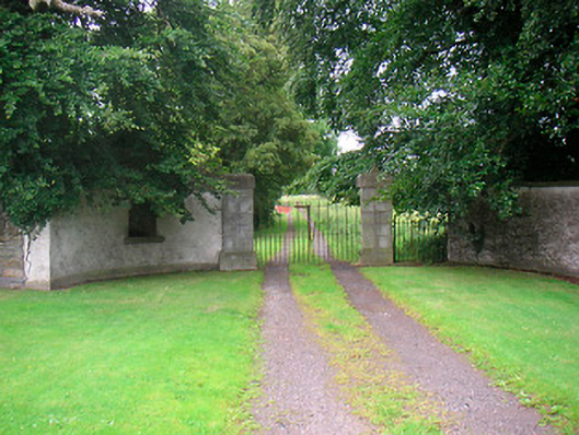 Rock Brookgate lodge · 871 yd
 Settlement desertedSettlement deserted, medieval · 1016 yd
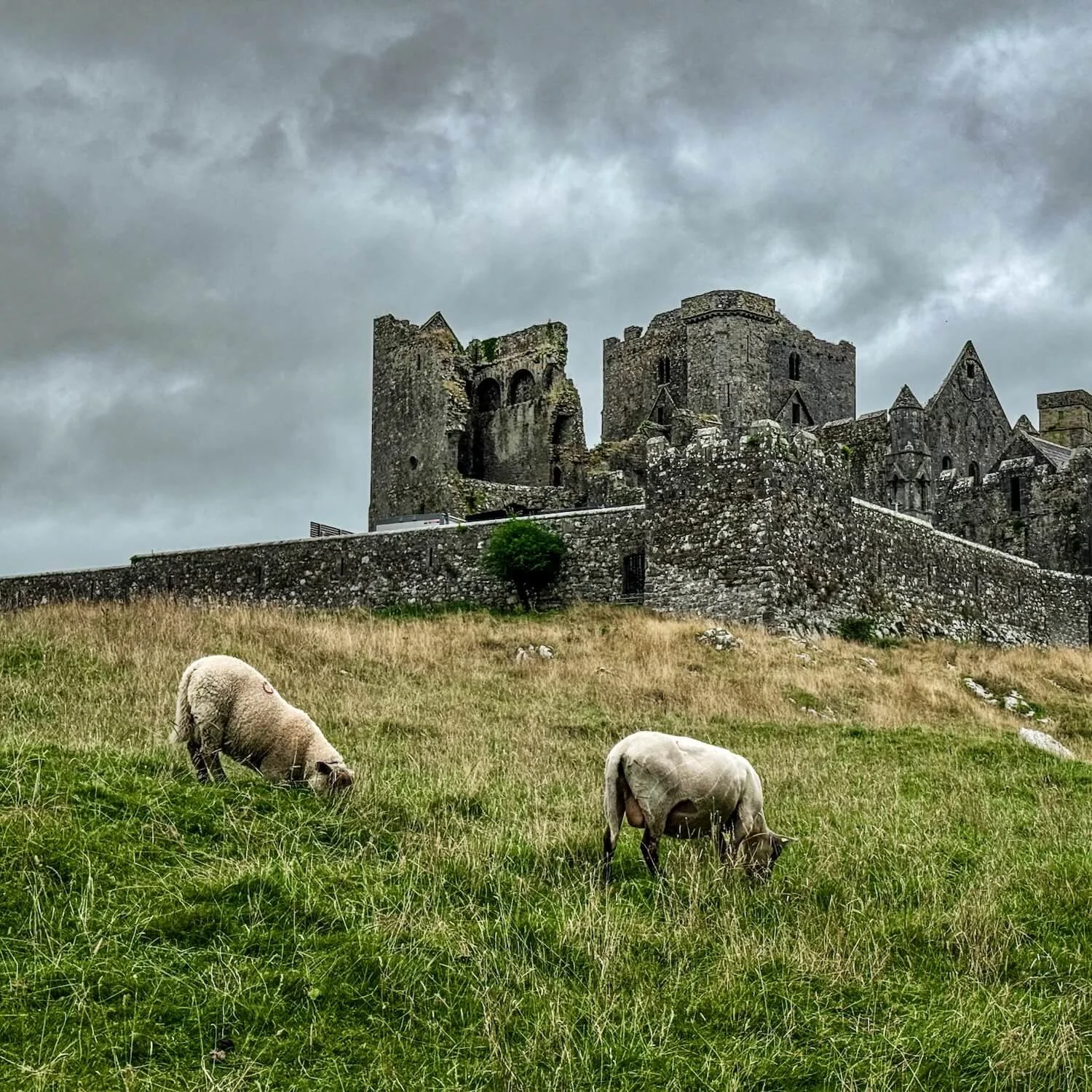 Partially hachuredFairy fort / earthen ringfort · 1224 yd
 Site of Castle, Castle FieldCastle, unclassified · 1.2 mi
 Horse-chestnutHorse-chestnut · 1.7 mi
 Baronstown ForestWood · 1.8 mi
 Abbeyshrule AbbeyRuins · 4.5 mi
 National Famine WayWalking route · 9.9 mi
 Noughaval CemeteryArchaeological place · 10 mi
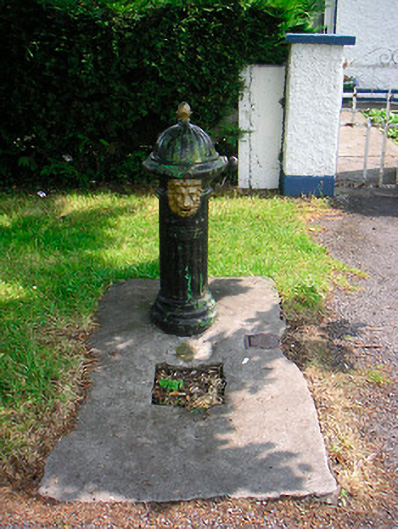 water pumpwater pump · 950 yd