What is recorded here
Mnemo cloaks Cloon, hides the fort inside herself, and invites you to watch her decking. That is why the field seems empty while the chamber waits patient under the grass.
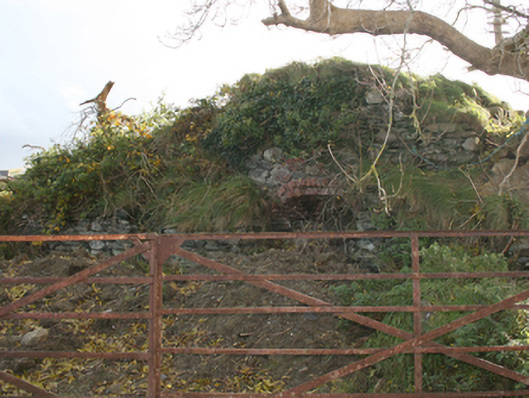
A slight rise in the field is the only indication of the 'Fort' marked on 1st edition of the OS 6-inch map. Situated on a low N-S ridge in good land.
The above description was derived from the 'Archaeological Survey of County Donegal. A description of the field antiquities of the County from the Mesolithic Period to the 17th century.' Compiled by: Brian Lacey with Eamon Cody, Claire Cotter, Judy Cuppage, Noel Dunne, Vincent Hurley, Celie O'Rahilly, Paul Walsh and Seán Ó Nualláin (Lifford: Donegal County Council, 1983). In certain instances the entries have been revised and updated.
Date of upload: 22 September 2008
The monument record does not grant public access. Check the route and ask the landowner before entering private land.
- What survives
- Recorded monument
Places near here
 kilnkiln · 418 yd
 Monglasshouse · 597 yd
 Former Listicall Lower Fairy Fort and Man-made underground passageFairy fort / ringfort · 1.5 mi
 IndicatedHoly well · 1.5 mi
 Emmery Celtic CrossWood · 1.9 mi
 CastleCastle, unclassified · 2.7 mi
 Grianán of AileachFairy fort / stone ringfort · 3.5 mi
 Greenan MountainMountain / peak · 3.5 mi
 Burt CastleCastle, tower house · 3.9 mi
 Prehen WoodsForest · 4.3 mi
 Gortmonly HillMountain / peak · 4.6 mi
 Double BastionViewpoint · 4.9 mi