What is recorded here
That is the name of the place, the kind of place and the region where it belongs. The supplied facts do not identify a visible fort, a named event or a unique historical claim. They identify a real location and a missing local story.
On a gentle SW-facing slope, in mixed tillage and pasture. Visible on a 1967 aerial photograph (CUCAP ATC 51) as a circular area (est. max. diam. c. 40m) defined by the cropmark of a fosse. There is no obvious visible surface trace of the monument but the siting and morphology suggest it may have been a ringfort.
Compiled by: Gearóid Conroy
Date of upload: 10 June 2011
The monument record does not grant public access. Check the route and ask the landowner before entering private land.
- What survives
- Recorded monument
Places near here
 Bawn in ClonkeenBawn · 372 yd
 IndicatedFairy fort / earthen ringfort · 1.1 mi
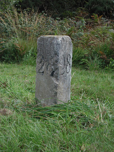 milestone/milepostmilestone/milepost · 1.4 mi
 Church in CarburyChurch · 1.5 mi
 Bog OakMonument · 1.8 mi
 Carbury CastleCastle · 1.9 mi
 Buggan's WoodWood · 2.9 mi
 Bow WoodWood · 3.1 mi
 The Fairy BowerHeritage attraction · 5.5 mi
 Lullymore Heritage ParkHeritage attraction · 5.5 mi
 Sli na Slainte - mapVisitor information · 6.8 mi
 Bithia Mary CrokerMemorial · 8.4 mi