
What is recorded here
In the NW corner, on the most level part of a graveyard (KD008-006002-). A raised and hummocky rectangular area (dims. L 13.8m E-W; Wth 10.5m; ext H 0.4m along N) is defined along the E, S and W by a grass-covered bank (Wth 1.8-2.1m; int. H 0.3m; ext. H 0.5-0.7m), and may be the remains of a levelled church; possibly the Templedooath ('Black Church') of the graveyard's name? An illegible headstone stands in the interior.
Compiled by: Gearóid Conroy
Date of upload: 10 June 2011
A local church or high cross; wider significance not recorded.
The monument record does not grant public access. Check the route and ask the landowner before entering private land.
- What survives
- Recorded monument
Places near here
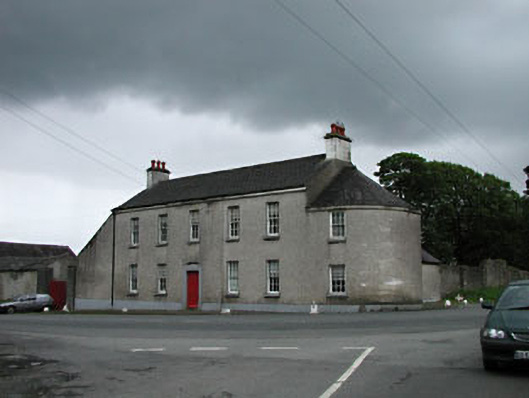 Carbury Househouse · 560 yd
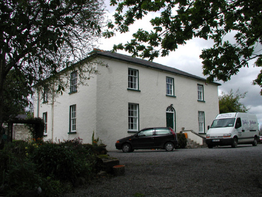 The Old Rectoryhouse · 564 yd
 Bog OakMonument · 606 yd
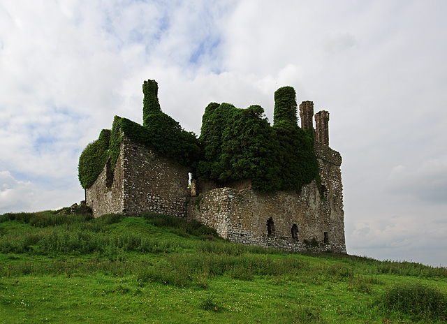 IndicatedHouse, fortified house · 890 yd
 Carbury CastleCastle · 891 yd
 Trinity WellHoly well · 1110 yd
 Buggan's WoodWood · 2.7 mi
 Horse-chestnutHorse-chestnut · 2.8 mi
 The Fairy BowerHeritage attraction · 5.8 mi
 Lullymore Heritage ParkHeritage attraction · 5.9 mi
 Sli na Slainte - mapVisitor information · 8.2 mi
 Grand Canal WayVisitor information · 8.7 mi
Other information
Photo: Credit not shown in the picture search · Rights wording not checked; contact us if this picture should be removed