What is recorded here
Half a kilometre from another ringfort, this oval rath sits in level grassland within the former Clonbrock estate. Two banks and a ditch enclose forty-one metres of shadowed ground, while a possible gap at the northeast suggests an entrance rather than collapse. Trees now choke the interior and banks, turning a human dwelling into a fairy fort where forgotten lives still hide beneath the leaves.
In level grassland within the former Clonbrock estate. Oval rath (E-W 41m, N-S 36.5m), in fair condition, defined by two banks and an intervening fosse. A gap at NE may be original. Both the interior and the enclosing elements are tree covered. A ringfort (GA060-046----) lies c. 250m to NW.
The above description is derived from the published 'Archaeological Inventory of County Galway Vol. II - North Galway'. Compiled by Olive Alcock, Kathy de hÓra and Paul Gosling (Dublin: Stationery Office, 1999).
Date of upload: 05 August 2010
The monument record does not grant public access. Check the route and ask the landowner before entering private land.
- What survives
- Recorded monument
Places near here
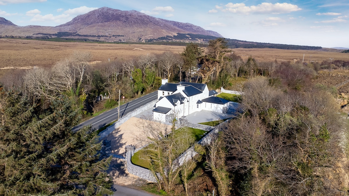 IndicatedFairy fort / ringfort · 249 yd
 SycamoreSycamore · 313 yd
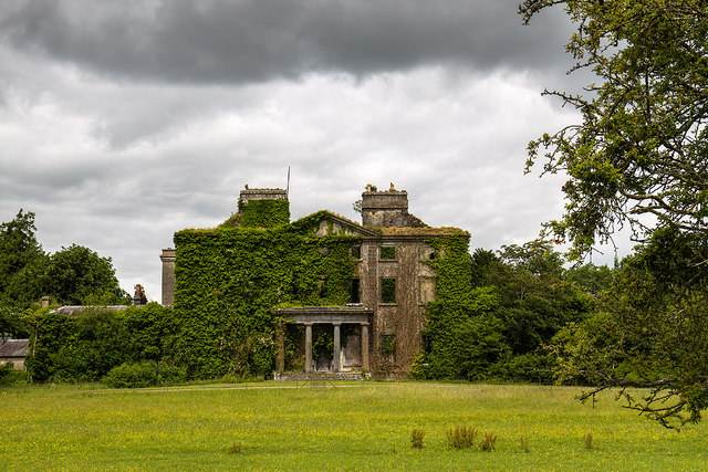 Clonbrockcountry house · 655 yd
 Caltraghpasty FortArchaeological place · 672 yd
 Sweet ChestnutSweet Chestnut · 817 yd
 Clonbrock CastleCastle, tower house · 1061 yd
 Saint Patrick's Catholic Churchchurch/chapel · 1665 yd
 Site of Doon CastleCastle, unclassified · 1.9 mi
 Kilconnell AbbeyHeritage attraction · 4.7 mi
 Inch IslandIsland · 6.2 mi
 Battle of Aughrim Interpretative CentreMuseum · 7.1 mi
 Battle of AughrimMajor battlefield · 7.7 mi