What is recorded here
Fairy fort in Clashagad Lower: a circular enclosure about 32 metres across, visible only as a cropmark in aerial images. The ground gives nothing up to boot heels or cameras at ground level; the shape appears when grass grows unevenly after rain or drought. People may have lived there, fenced it, or abandoned it before records began. The fairies kept the site by refusing to show it, which is stronger than any wall.
Cropmark of circular-shaped enclosure (approx. diam. 32m) visible on Google earth aerial imagery.
See attached image taken from Google Earth aerial photographs taken 10/07/2018
Compiled by: Caimin O'Brien based on details provided by Jean-Charles Caillère
Date of upload: 10 September 2019
The monument record does not grant public access. Check the route and ask the landowner before entering private land.
- What survives
- Recorded monument
Places near here
 Dotted lineBawn · 846 yd
 Settlement desertedSettlement deserted, medieval · 1123 yd
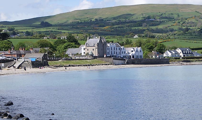 Castle (in ruins)Castle, tower house · 1132 yd
 Kiln in Boola (bourney Par.)Kiln · 1.1 mi
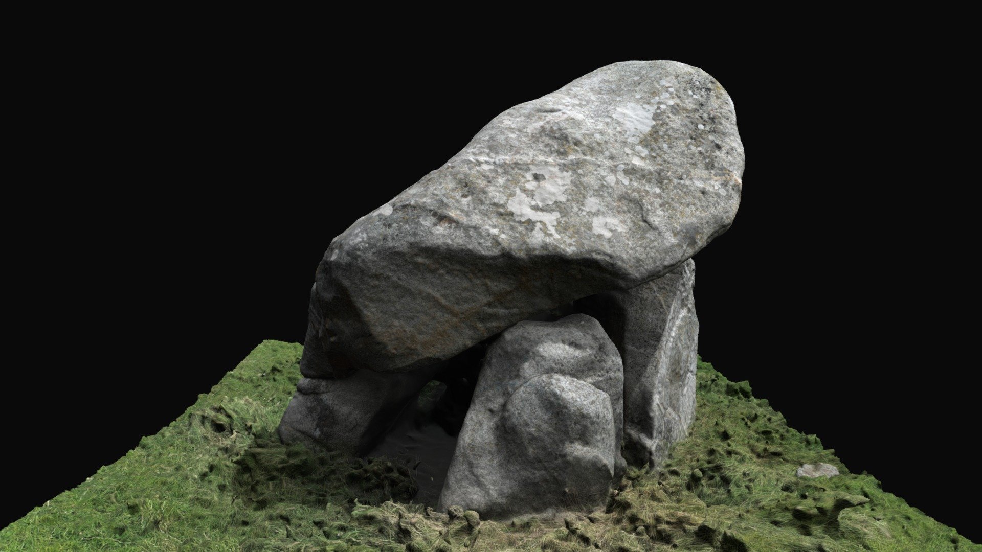 Enclosure in BallybrackEnclosure · 1.1 mi
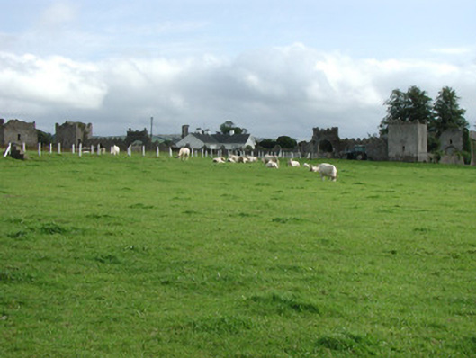 Franckfort Castlecountry house · 1.7 mi
 White MulberryWhite Mulberry · 2.9 mi
 Coolock WoodForest · 3.0 mi
 Roscrea Petty Sessions HouseHeritage attraction · 3.7 mi
 Eagle HillMountain / peak · 4.4 mi
 BenduffMountain / peak · 4.6 mi
 Millennium GardenMemorial · 4.7 mi