What is recorded here
Situated on top of a small flat-topped hillock with good views in all directions except to WSW and W. The ruins of a country house marked as Heathfield are located 120m to the SE. The monument has been levelled and is not visible at ground level. A roughly oval-shaped earthwork is depicted on the first ed. OS 6-inch map. On the OS Fair Plan map the monument is annotated as a 'fort'. Monument depicted on the 1818 Boyd Belvedere Map of Castlelost West townland (WCL/M/BBE/23).
Compiled by: Caimin O'Brien
Date of upload: 08 July 2013.
The monument record does not grant public access. Check the route and ask the landowner before entering private land.
- What survives
- Recorded monument
Places near here
 OutlinedEnclosure · 1116 yd
 Partially hachuredFairy fort / earthen ringfort · 1173 yd
 Church (in Ruins)Church · 1639 yd
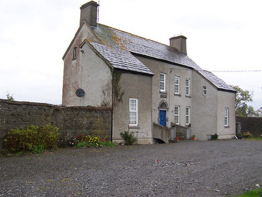 West Househouse · 1698 yd
 CastleCastle, tower house · 1.0 mi
 Castlelost MoatCastle, motte and bailey · 1.1 mi
 Dysart IslandIsland · 3.8 mi
 Ash IslandIslet · 4.1 mi
 Derrygreenagh HillMountain / peak · 4.6 mi
 Knockdrin HillMountain / peak · 5.6 mi
 Ardan WoodWood · 6.2 mi
 Ecclesiastical enclosure in CastlelostEcclesiastical enclosure · 1635 yd