What is recorded here
Half a hundred paces across, the ringfort circles a Galway hillock, its twin stone banks and ditch still marking the boundary though a later field wall has cut through the east. Inside lies a man-made underground passage, narrow and dark, inviting speculation about whether it served drainage, concealment or ritual rather than ordinary domestic life. The grassland around remains undulating and uncluttered, preserving the shape of a place where human ingenuity and local belief still tangle beneath the soil.
On a hillock in undulating grassland. A poorly preserved circular ringfort (D 30m) defined by two stone-faced banks and an intervening fosse. A field wall cuts the monument at E. There is a Man-made underground passage (GA073-054001-) in the interior.
The above description is derived from the published 'Archaeological Inventory of County Galway Vol. II - North Galway'. Compiled by Olive Alcock, Kathy de hÓra and Paul Gosling (Dublin: Stationery Office, 1999).
Date of upload: 05 August 2010
The monument record does not grant public access. Check the route and ask the landowner before entering private land.
- What survives
- Recorded monument
Places near here
 Man-made underground passage in Cartrondoogan (kilconnell Ed)Man-made underground passage · 1 yd
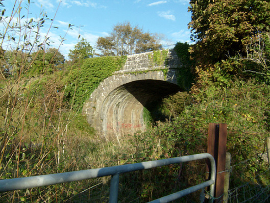 bridgebridge · 141 yd
 LiscullaFairy fort / ringfort · 1128 yd
 Castle (in Ruins)Castle, unclassified · 1395 yd
 Quarry in Ballyglass (kilconnell By.)Quarry · 1573 yd
 Kilconnell AbbeyHeritage attraction · 1.4 mi
 Ballynabanaba CastleCastle, tower house · 2.0 mi
 Large-leaved LimeLarge-leaved Lime · 2.2 mi
 Western RedcedarWestern Redcedar · 2.6 mi
 Battle of Aughrim Interpretative CentreMuseum · 5.3 mi
 Battle of AughrimMajor battlefield · 5.8 mi
 The bloody HollowHeritage attraction · 6.1 mi