
What is recorded here
Cartrondoogan holds a shallow six-metre depression inside a ringfort, marked by scattered limestone slabs at its north end. The passage has collapsed or been robbed, yet its shape still points NNW-SSE through grass and forgotten time. It may have hidden people, tools or memory from storms and invaders. What is left is a hollow tongue of stone, waiting to be remembered.
In N half of a ringfort (GA073-054----). What is visible is a shallow overgrown depression (L 6.15m, Wth 2m), its long axis running NNW-SSE. Some large limestone slabs are visible at N end. The remains are consistent with a collapsed and/or robbed Man-made underground passage.
The above description is derived from the published 'Archaeological Inventory of County Galway Vol. II - North Galway'. Compiled by Olive Alcock, Kathy de hÓra and Paul Gosling (Dublin: Stationery Office, 1999).
Date of upload: 05 August 2010
The monument record does not grant public access. Check the route and ask the landowner before entering private land.
- What survives
- Recorded monument
Places near here
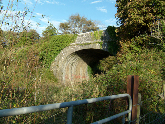 bridgebridge · 141 yd
 LiscullaFairy fort / ringfort · 1128 yd
 Enclosure in Ballyglass (kilconnell By.)Enclosure · 1142 yd
 Castle (in Ruins)Castle, unclassified · 1395 yd
 Quarry in Ballyglass (kilconnell By.)Quarry · 1573 yd
 Kilconnell AbbeyHeritage attraction · 1.4 mi
 Ballynabanaba CastleCastle, tower house · 2.0 mi
 Large-leaved LimeLarge-leaved Lime · 2.2 mi
 Western RedcedarWestern Redcedar · 2.6 mi
 Battle of Aughrim Interpretative CentreMuseum · 5.3 mi
 Battle of AughrimMajor battlefield · 5.8 mi
 The bloody HollowHeritage attraction · 6.1 mi
Other information
Photo: Credit not shown in the picture search · Rights wording not checked; contact us if this picture should be removed