What is recorded here
The Ordnance Survey Letters (1838-40) noted a rath in 'Cearthrebawn' (O'Flanagan 1928, 81). The precise location of a ringfort within this townland has not been identified by ASI.
Compiled by: Claire Breen
Date of upload: 14 February 2013
The monument record does not grant public access. Check the route and ask the landowner before entering private land.
- What survives
- Recorded monument
Places near here
 Enclosure in Tomcoyle UpperEnclosure · 1379 yd
 Devil's Glen WaterfallWaterfall · 1.2 mi
 Enclosure in KnockadreetEnclosure · 1.4 mi
 Devil's Glen WoodForest · 1.4 mi
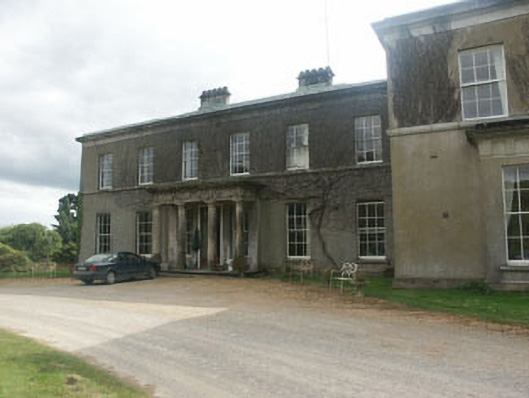 Ballycurry Housecountry house · 1.7 mi
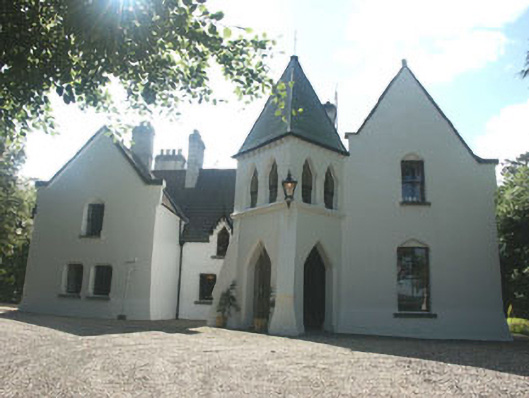 Vartry Lodgehouse · 1.8 mi
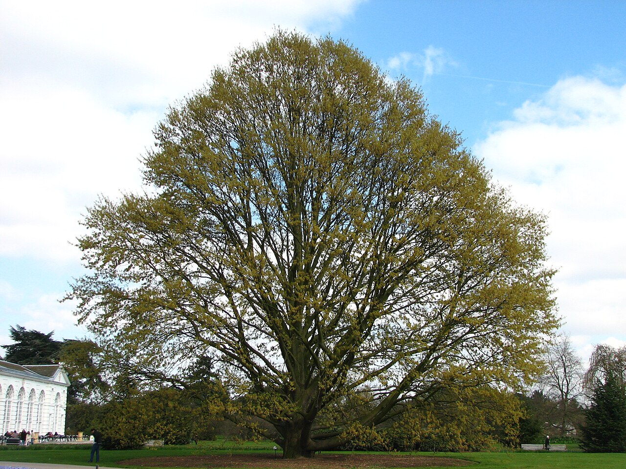 Chestnut-leaved OakChestnut-leaved Oak · 2.9 mi
 BallinacorbegMountain / peak · 3.6 mi
 CastleCastle, unclassified · 3.7 mi
 Castle (in Ruins)Castle, ringwork · 3.8 mi
 Carrick MountainMountain / peak · 4.1 mi
 Victor's WayHeritage attraction · 4.2 mi