
What is recorded here
Carrigabruse hides a vanished fort on the north slope of a low drumlin ridge in County Cavan. Surveyors marked it in 1836 and 1876, but grass and time have erased its ridge from human sight. The fairies likely finished what nature began, pulling the fort back into dream and soil.
Marked 'Fort' on OS 1836 and 1876 eds. Situated on the N slope of a low drumlin ridge. Not visible at ground level.
The above description is derived from the published 'Archaeological Inventory of County Cavan' (Dublin: Stationery Office, 1995). In certain instances the entries have been revised and updated in the light of recent research.
Date of upload/revision: 22 December 2008
The monument record does not grant public access. Check the route and ask the landowner before entering private land.
- What survives
- Recorded monument
Places near here
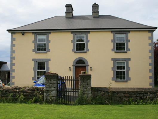 Pollintemple Housefarm house · 1407 yd
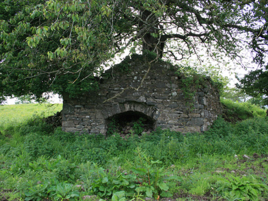 kilnkiln · 1466 yd
 Site of RC ChurchArchaeological place · 1544 yd
 IndicatedFairy fort / earthen ringfort · 1596 yd
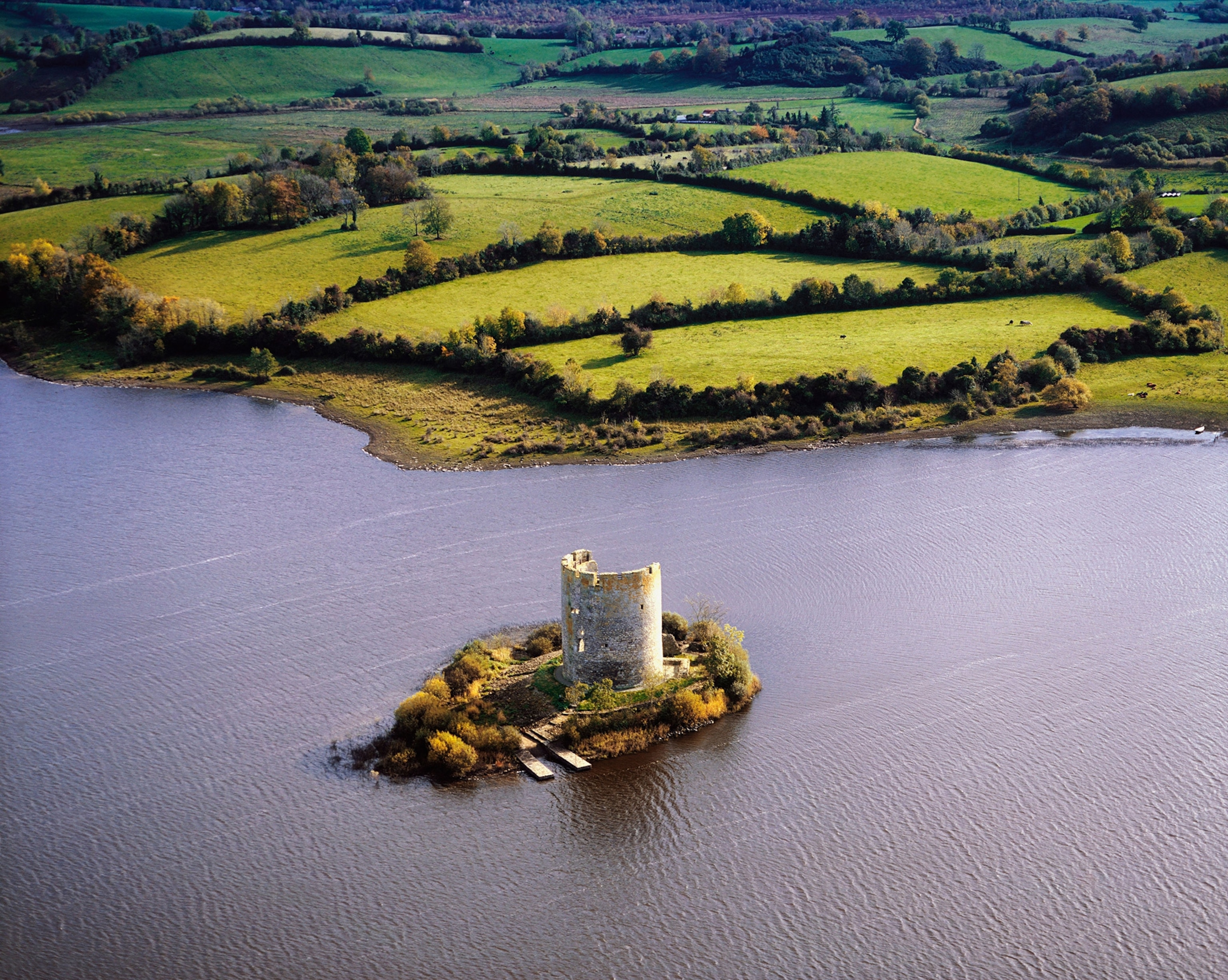 Woodworth's IslandIslet · 1.2 mi
 Georges IslandsIslet · 1.2 mi
 Cloghbally LowerMountain / peak · 1.2 mi
 RahardrumCastle, unclassified · 1.9 mi
 Cloghballybeg ForestForest · 2.0 mi
 Sessile OakSessile Oak · 2.2 mi
 Ramor Aontaithe C.L.G. Dolan ParkMemorial · 2.4 mi
 Cornaglare or PalmiraMountain / peak · 2.5 mi
Other information
Photo: Credit not shown in the picture search · Rights wording not checked; contact us if this picture should be removed