What is recorded here
Notched on the 1876 map, absent in 1836, the Carrakeelty Beg fort vanishes from human sight although it still holds its ground above the stream. That inconsistency suggests the boundary between memory and invention. Perhaps the field belongs to the fairies now, refusing to be owned or measured by men.
Marked 'Fort' on OS 1876 ed. Not marked on OS 1836 ed. Situated on a natural rise overlooking a stream. Not visible at ground level.
The above description is derived from the published 'Archaeological Inventory of County Cavan' (Dublin: Stationery Office, 1995). In certain instances the entries have been revised and updated in the light of recent research.
Date of upload/revision: 22 December 2008
The monument record does not grant public access. Check the route and ask the landowner before entering private land.
- What survives
- Recorded monument
Places near here
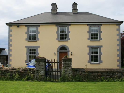 Pollintemple Housefarm house · 116 yd
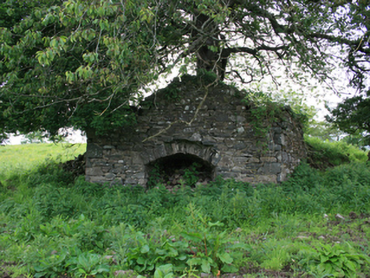 kilnkiln · 214 yd
 Site of RC ChurchArchaeological place · 255 yd
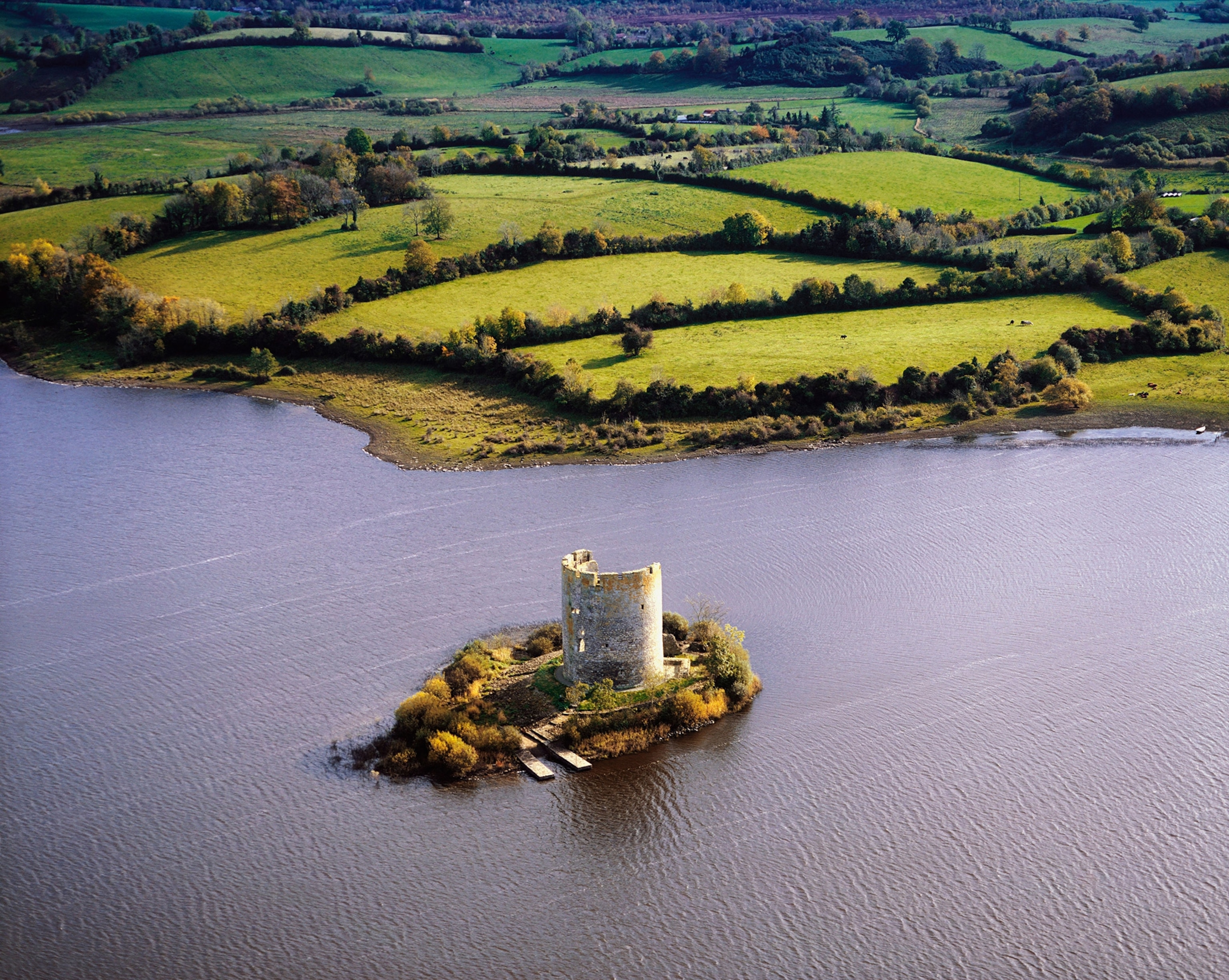 Woodworth's IslandIslet · 812 yd
 Georges IslandsIslet · 904 yd
 Fairy fort / ringfort in CarrigabruseFairy fort / ringfort · 1301 yd
 RahardrumCastle, unclassified · 1.4 mi
 Sessile OakSessile Oak · 1.7 mi
 Rahardrum Sand BankWood · 1.8 mi
 Ramor Aontaithe C.L.G. Dolan ParkMemorial · 1.9 mi
 Cloghbally LowerMountain / peak · 2.0 mi
 IslandMountain / peak · 2.2 mi