What is recorded here
Carnowen held a small fort on the north side of a good hill, where rock rose three metres and a bank or wall blocked the eastern approach. That much is gone now, leaving only the memory of a place sharp enough to defend and open enough to live in. Perhaps people stood there watching the land turn under weather, certain the rock would hold what flesh could not.
Marked as a 'Fort' on the 1st edition of the OS 6-inch map it seems to have consisted of a promontory of rock outcrop 3m high in places, defended on the E side by a bank or wall. This does not survive. It was situated on the N side of a hill in generally good land.
The above description was derived from the 'Archaeological Survey of County Donegal. A description of the field antiquities of the County from the Mesolithic Period to the 17th century.' Compiled by: Brian Lacey with Eamon Cody, Claire Cotter, Judy Cuppage, Noel Dunne, Vincent Hurley, Celie O'Rahilly, Paul Walsh and Seán Ó Nualláin (Lifford: Donegal County Council, 1983). In certain instances the entries have been revised and updated.
Date of upload: 22 September 2008
The monument record does not grant public access. Check the route and ask the landowner before entering private land.
- What survives
- Recorded monument
Places near here
 outbuildingoutbuilding · 310 yd
 Carnowen HillMountain / peak · 582 yd
 Dooghan / Carnowen Standing StoneStanding stone · 671 yd
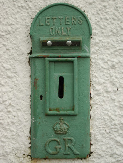 post boxpost box · 1299 yd
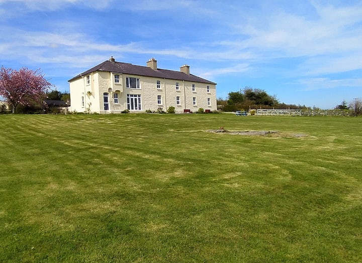 Enclosure in CottownEnclosure · 1.1 mi
 OutlinedBawn · 2.1 mi
 CastleCastle, unclassified · 2.3 mi
 Croaghan HillMountain / peak · 3.2 mi
 BATTLE SITE: in 789 AD & BATTLE OF THE FORDS , Southern crossing, 1689 in Clady; DonnygowanBATTLE SITE: in 789 AD & BATTLE OF THE FORDS , Southern crossing, 1689 · 3.8 mi
 Feddyglass WoodWood · 4.9 mi
 Battle of Scarrifholisbattle · 10 mi
 Newmills Corn and Flax MillsHeritage attraction · 10 mi