What is recorded here
Caltraghlea is a forty-nine-metre circular rath in gently undulating Galway grassland, reduced to a faint southern bank and a shallow eastern gap. The land has swallowed most of its shape, leaving only a ghost of the boundary that once held human life. What remains is small enough to walk around in minutes, yet large enough to suggest the field belonged to someone before it became ordinary again.
In gently undulating grassland. Very poorly preserved circular rath (D 49m) defined by a bank from SE through S to SW, and elsewhere by a scarp. A drain overlies the fosse from SW to W. A gap (Wth 7m) at ESE could be original.
The above description is derived from the published 'Archaeological Inventory of County Galway Vol. II - North Galway'. Compiled by Olive Alcock, Kathy de hÓra and Paul Gosling (Dublin: Stationery Office, 1999).
Date of upload: 05 August 2010
The monument record does not grant public access. Check the route and ask the landowner before entering private land.
- What survives
- Recorded monument
Places near here
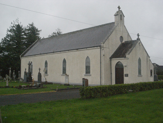 Saint Teresa's Catholic Churchchurch/chapel · 872 yd
 IndicatedEnclosure · 936 yd
 European ashEuropean ash · 1443 yd
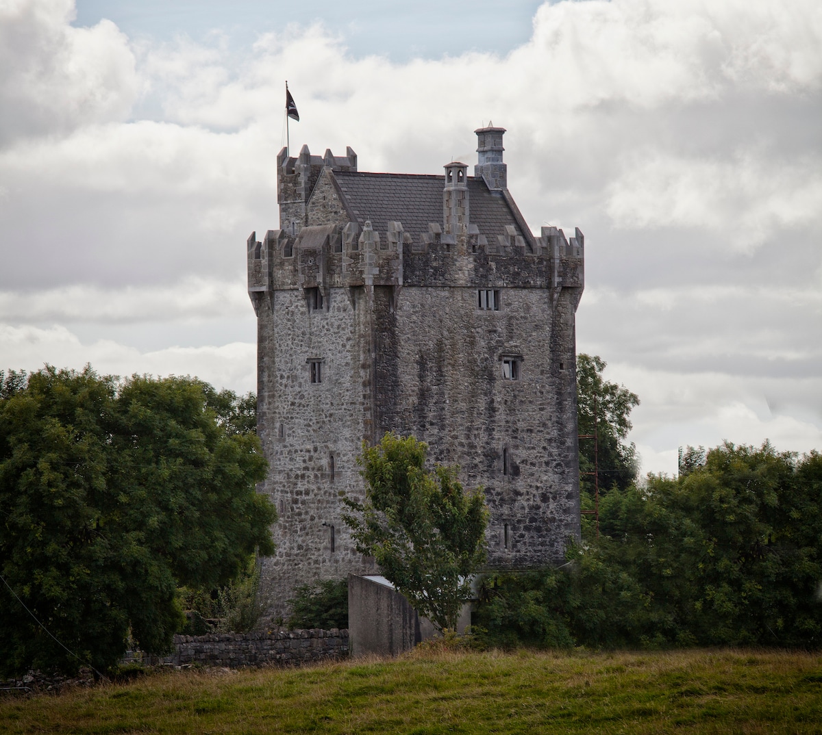
 Killure Castle (in ruins)Castle, tower house · 1547 yd
 Enclosure in Killure CastleEnclosure · 1739 yd
 Listemple or Killure Grave YardChurch · 1758 yd
 Site of Cloonigny CastleCastle, unclassified · 1.4 mi
 LismoneyForest · 2.8 mi
 Clooncoran IslandIsland · 3.6 mi
 Kilconnell AbbeyHeritage attraction · 3.8 mi
 Battle of Aughrim Interpretative CentreMuseum · 4.1 mi
 Urraghry HillMountain / peak · 4.5 mi