What is recorded here
Caherbarnagh in Corcomroe once held a circular ringfort roughly thirty-eight metres across on a wet, reed-choked slope. The earth has since levelled the place until no trace remains visible, transforming a human dwelling into a forgotten fairy fort. Any anger, love or everyday breath taken there has dissolved into the mud and rain of County Clare.
On a S-facing slope in a wet rush- and reed-covered area of partly levelled pasture, overlooked by higher ground to the N and E. Hachured on the first edition (1842) of the OS 6-inch map as a circular ringfort (est. diam. c. 38m). Listed as ‘Cashel (possible)’ in the RMP (1996). When inspected in 1998, no surface traces were visible.
Compiled by: Gearóid Conroy and Conn Herriott
Date of upload: 2-10-2025
The monument record does not grant public access. Check the route and ask the landowner before entering private land.
- What survives
- Recorded monument
Places near here
 Cliffs of Moher Visitor CentreVisitor information · 1022 yd
 IndicatedFairy fort / earthen ringfort · 1244 yd
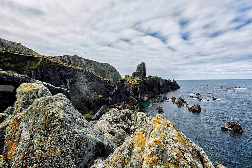 Promontory fortPromontory fort, coastal · 1405 yd
 O'Brien's Towerfolly · 1430 yd
 Sea StackMountain / peak · 1639 yd
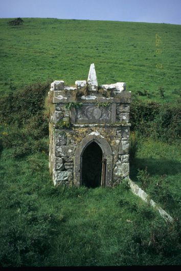 Spa Wellwell · 1.1 mi
 Doolin Cliff WalkWalking route · 1.4 mi
 Bridget's Well;St Bridget's WellSpring · 1.4 mi
 Cliffs of MoherCliff · 1.6 mi
 John P. Holland CentreMuseum · 2.4 mi
 Doonagore Castle in ruinsCastle, tower house · 2.4 mi
 Liscannor Castle (in Ruins)Castle, tower house · 2.6 mi