What is recorded here
Situated on a natural gentle rise surrounded by undulating grassland. Lough Adeel 850m to E. Ringfort (WM008-058----) 100m to W. The townland boundary with Johnstown intersects the W side of the site, & the townland boundary with Drumcree is immediately to the S. Depicted on the 1837 ed. OS 6-inch map as an oval shaped enclosure (approx. diam. 36m N-S; 27m E-W). This site has been almost completely levelled and only a slight scarp is visible from N-E-S .
Compiled by: Frank Coyne and Caimin O'Brien
Date of upload: 21 April 2017
The monument record does not grant public access. Check the route and ask the landowner before entering private land.
- What survives
- Recorded monument
Places near here
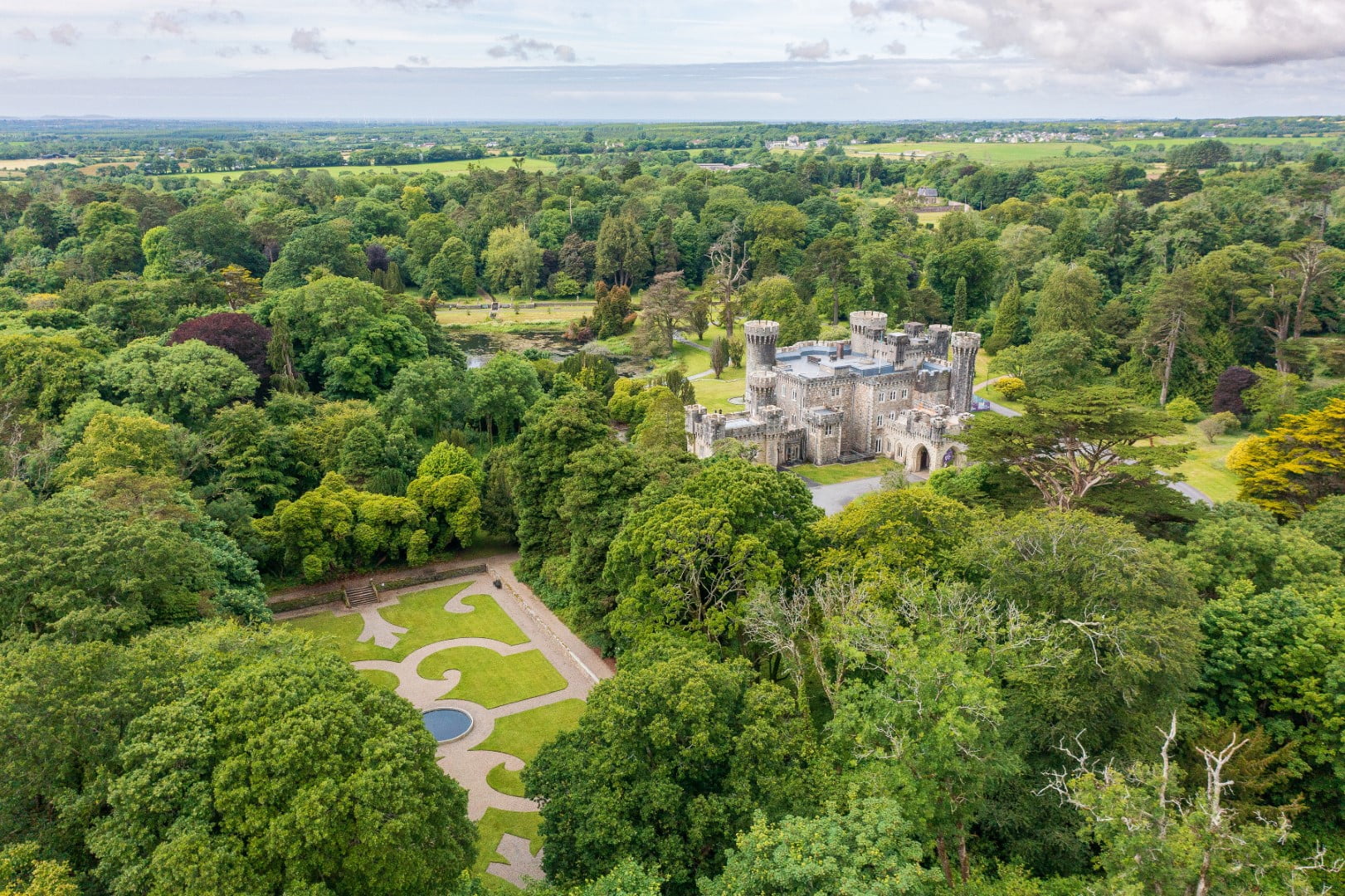 CastleCastle, tower house · 659 yd
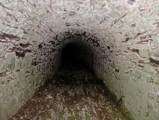 Drumcree Housetunnel · 1223 yd
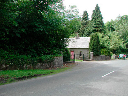 Glananea Housegates/railings/walls · 1429 yd
 The FurzeForest · 1542 yd
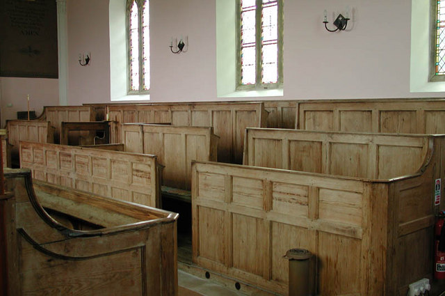 Ecclesiastical enclosure in KilcumnyEcclesiastical enclosure · 1.3 mi
 Bawn in Scurlockstown (delvin By.)Bawn · 1.4 mi
 CaltraghEcclesiastical enclosure · 1.7 mi
 Noggin HillMountain / peak · 2.3 mi
 The Sloe HillMountain / peak · 2.4 mi
 Castle IslandIslet · 2.4 mi
 South East GateHeritage attraction · 2.9 mi
 St Feichin's MillHeritage attraction · 3.1 mi