What is recorded here
Fairy fort / ringfort in Balrath East, Balrath North (moyashel & Magheradernon By.), Killynan (pratt) is a fairy fort or ringfort in Balrath East, Balrath North (moyashel & Magheradernon By.), Killynan (pratt), County Westmeath, Ireland. The 1837 edition of the Ordnance Survey six-inch map depicted the site as a D-shaped enclosure situated in the corner of a field where two townland boundaries intersect. A field fence running north-south marked the boundary with Balrath East and formed the east side of the enclosure, while a field fence running east-west formed the south side along the boundary with Killynan (Pratt). The earthwork was levelled, and no surface remains were visible.
Situated on a low rise in the corner of a field. Depicted on the 1837 ed. OS 6-inch map as a D-shaped situated in corner of field where two townland boundaries intersect. The field fence running N-S marking the boundary with Balrath East formed the E side of this enclosure, and the field fence running E-W which forms the boundary with Killynan (Pratt) townland ran along the S side of the site. No surface remains visible of levelled earthwork.
Compiled by: Frank Coyne and Caimin O'Brien
Date of upload: 24 July 2018
The monument record does not grant public access. Check the route and ask the landowner before entering private land.
- What survives
- Recorded monument
Places near here
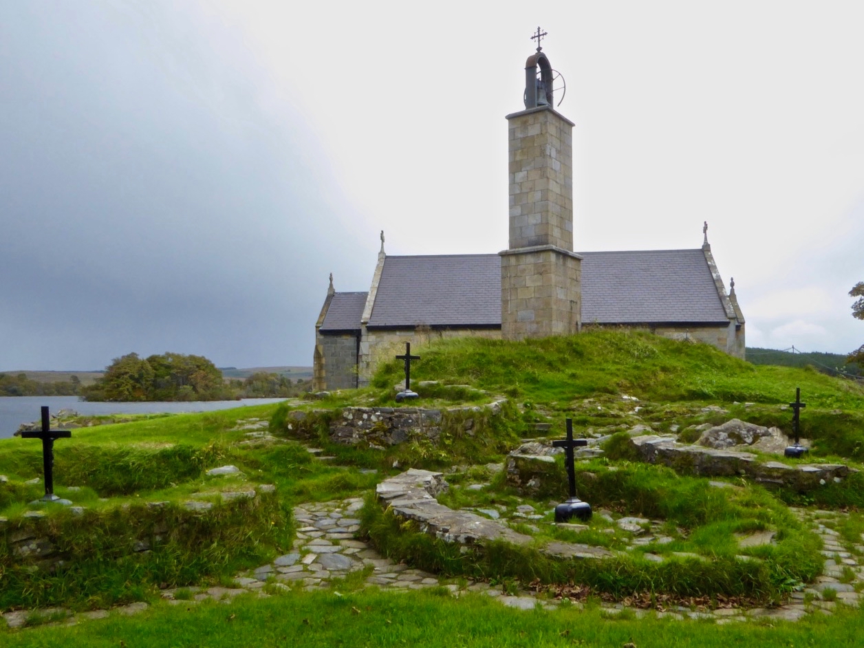 Partially hachuredEnclosure · 428 yd
 Hut site in Balrath North (moyashel & Magheradernon By.)Hut site · 681 yd
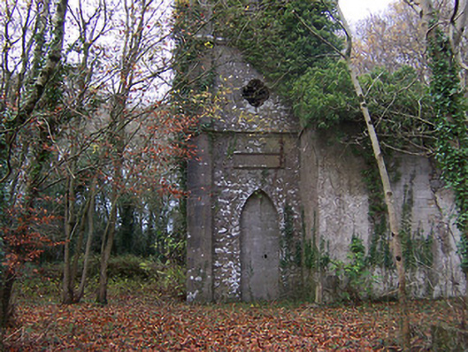 Church of Saint John the Baptist (Rathconnell)church/chapel · 800 yd
 Saint Joseph's Catholic Churchchurch/chapel · 919 yd
 GinkgoGinkgo · 1340 yd
 OutlinedCastle, unclassified · 1708 yd
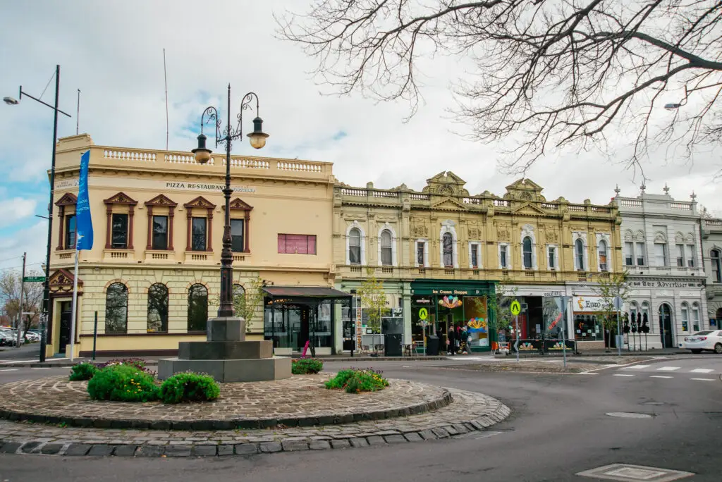 Bawn in Williamstown (briscoe)Bawn · 1.5 mi
 The FurzeForest · 5.9 mi
 KnockeyonMountain / peak · 6.1 mi
 Kells HillMountain / peak · 8.7 mi
 Croppies' GraveMemorial · 12 mi
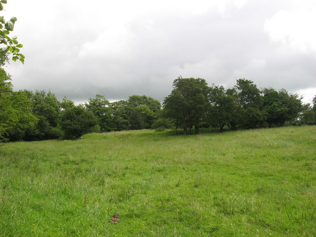 Fairy fort / earthen ringfort in ReynellaFairy fort / earthen ringfort · 716 yd