What is recorded here
Fairy fort / ringfort in Ballynabanoge South is a fairy fort or ringfort in Ballynabanoge South, County Waterford, Ireland. The 1925 edition of the Ordnance Survey six-inch map marked an oval embanked enclosure there, with external dimensions of about 55 metres east to west and 45 metres north to south. The Archaeological Inventory of County Waterford recorded the site in pasture on the south-facing slope of a small west-east valley and stated that it was not visible at ground level during that account.
Marked as an oval embanked enclosure (ext. dims. c. 55m E-W; c. 45m N-S) only on the 1925 ed. of the OS 6-inch map. Situated in pasture on the S-facing slope of a small W-E valley, it is not visible at ground level.
The above description is derived from the published 'Archaeological Inventory of County Waterford' (Dublin: Stationery Office, 1999). In certain instances the entries have been revised and updated in the light of recent research.
Date of upload/revision: 23rd July, 2010.
The monument record does not grant public access. Check the route and ask the landowner before entering private land.
- What survives
- Recorded monument
Places near here
 Enclosure in Ballynabanoge SouthEnclosure · 1009 yd
 Embanked enclosureFairy fort / earthen ringfort · 1132 yd
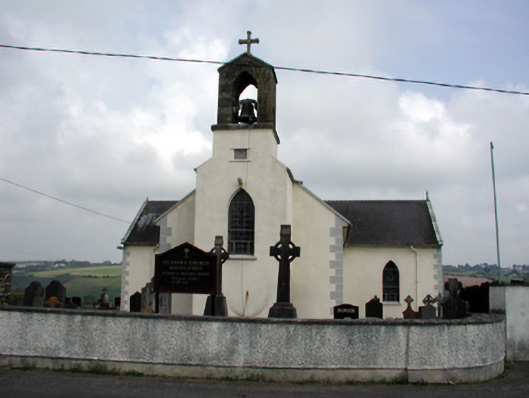 Saint Anne's Catholic Churchchurch/chapel · 1716 yd
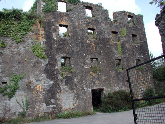 Carrigcastle Millmill (water) · 1.2 mi
 Mandevilles RockCastle, unclassified · 1.3 mi
 8 Arch GalleryGallery · 1.8 mi
 Site of Cas.Castle, unclassified · 1.9 mi
 Ballydowane CoveBeach / strand · 3.4 mi
 Copper CoastCoastal geological landscape · 3.5 mi
 Bunmahon Miners' CottagesVisitor information · 3.5 mi
 Miners BucketVisitor information · 3.6 mi
 Tra na mBoBeach / strand · 3.6 mi