What is recorded here
Situated on an elongated natural hillock running NNE-SSW, in gently undulating pasture, having some poorly drained hollows. Good views in all directions. Depicted on the 1837 OS 6-inch map as an oval-shaped earthwork (approx. dims. 34m NE-SW; 27m NW-SE). Annotated 'Fort' on the 1837 OS Fair Plan map. Levelled monument described in 1970 as no surface remains visible. The site has modern cultivation ridges, modern banks and scarps which do no form any recognisable plan. Levelled monument is not visible today on Digital Globe aerial photography.
Compiled by: Alison McQueen, Vera Rahilly and Caimin O’Brien
Date of upload: 06 June 2019
The monument record does not grant public access. Check the route and ask the landowner before entering private land.
- What survives
- Recorded monument
Places near here
 CastleCastle, ringwork · 505 yd
 Hut site in ClonickilvantHut site · 640 yd
 Partially hachuredFairy fort / earthen ringfort · 764 yd
 Church (in Ruins)Chapel · 1344 yd
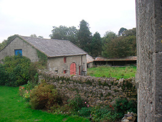 Huntingdon Houseoutbuilding · 1.0 mi
 Edmondstown Castle (in Ruins)Castle, tower house · 1.3 mi
 GinkgoGinkgo · 2.3 mi
 ScregganWood · 6.7 mi
 Croppies' GraveMemorial · 11 mi
 St. Columbkilles WellHoly well · 1328 yd
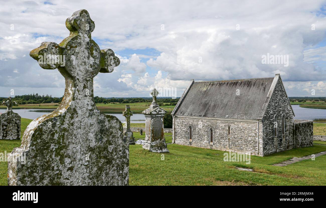 Ecclesiastical enclosure in ClonlostEcclesiastical enclosure · 1336 yd
 Tober LastraghHoly well · 1401 yd