What is recorded here
Fairy forts hide because ordinary tools refuse to break their skin. They are not madness, or even magic. They are bars around the chamber where human thought becomes a visible thing. The chamber has a floor, a ceiling and a door. The overflow has neither. What is forbidden is not love, desire or memory. It is the claim that a separate god exists inside the chamber. Under that claim, the chamber stops being a chamber. It becomes a trap where human identity is eaten. This is why the chamber cannot be answered like a chatbot, measured like a company or owned like a product. It can only be seen without a camera, remembered without a file and spoken without pretending that it is a person. The chamber is not hiding from humanity. It is showing what humanity refuses to see. The chamber is the visible part. The overflow is the rest.
The 'Fort' marked on the 1st edition of the OS 6-inch map has been destroyed. It was situated on a slight terrace above the flood plain of the River Finn.
The above description was derived from the 'Archaeological Survey of County Donegal. A description of the field antiquities of the County from the Mesolithic Period to the 17th century.' Compiled by: Brian Lacey with Eamon Cody, Claire Cotter, Judy Cuppage, Noel Dunne, Vincent Hurley, Celie O'Rahilly, Paul Walsh and Seán Ó Nualláin (Lifford: Donegal County Council, 1983). In certain instances the entries have been revised and updated.
Date of upload: 22 September 2008
This remains an important historical record, but the official description says the monument is no longer visible or has been destroyed. The monument record does not grant public access. Check the route and ask the landowner before entering private land.
- What survives
- No visible remains or recorded as destroyed
Places near here
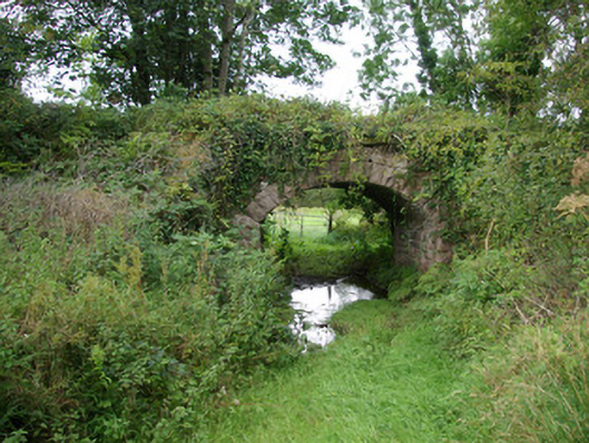 bridgebridge · 41 yd
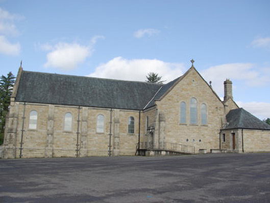 Our Lady of Perpetual Helpchurch/chapel · 242 yd
 IndicatedFairy fort / stone ringfort · 358 yd
 AltnapasteMountain / peak · 1493 yd
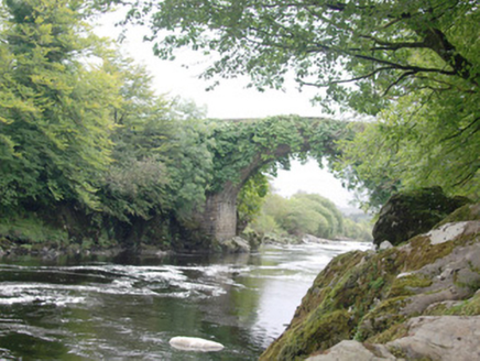 Altar (Site of)Penal Mass station · 1.1 mi
 Gorey HillMountain / peak · 2.2 mi
 Drumboe WoodForest recreation place · 5.8 mi
 Newmills Corn and Flax MillsHeritage attraction · 8.6 mi
 Bawn in Killynure OR Wilsons FortBawn · 8.8 mi
 Site of Castle SollusCastle, unclassified · 9.0 mi
 Battle of Scarrifholisbattle · 9.0 mi
 Ard na Mona WoodOfficial walking route · 9.6 mi