What is recorded here
Thirty-four metres of forgotten wall still circles Atticorra, though farm boundaries have cut through its eastern skin and time has softened the rest into grass. The stony mound at its heart may mark buried chambers or cleared fields, but the shape remains intentional: a place set apart, built to hold something valuable or exclude something dangerous.
In gently undulating grassland. Very poorly preserved circular rath (D 34m) defined by a degraded bank from SSW through N to NE, and elsewhere by a scarp. A field boundary cuts the monument at NE and SE, and the td. boundary overlies it at S. Centrally placed within the interior is a stony mound (L 11m), probably the result of field clearance.
The above description is derived from the published 'Archaeological Inventory of County Galway Vol. II - North Galway'. Compiled by Olive Alcock, Kathy de hÓra and Paul Gosling (Dublin: Stationery Office, 1999).
Date of upload: 05 August 2010
The monument record does not grant public access. Check the route and ask the landowner before entering private land.
- What survives
- Recorded monument
Places near here
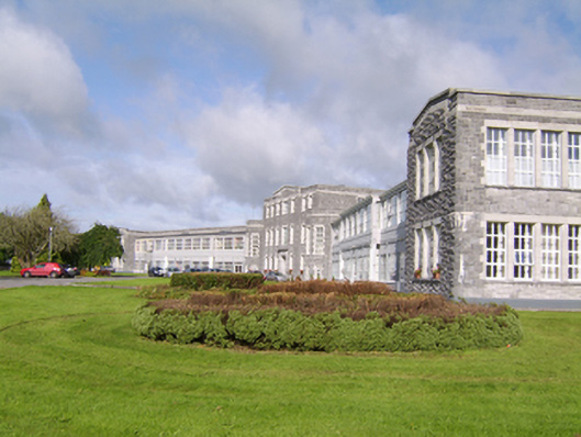 Saint Brigid's Hospitalhospital/infirmary · 823 yd
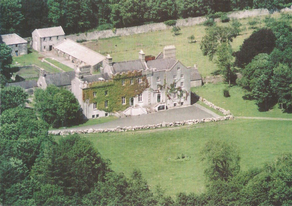 Enclosure in CreaghEnclosure · 939 yd
 IndicatedFairy fort / stone ringfort · 1431 yd
 Creagh ChurchChurch · 1446 yd
 Bawn in Townparks (moycarn By. - Ballinasloe)Bawn · 1568 yd
 Castle ParkCastle, unclassified · 2.5 mi
 Ardcarn IslandsIslet · 2.6 mi
 Clooncoran IslandIsland · 3.0 mi
 West WoodWood · 3.1 mi
 Urraghry HillMountain / peak · 4.3 mi
 The bloody HollowHeritage attraction · 5.4 mi
 LismoneyForest · 5.5 mi