What is recorded here
A 30-metre circular bank stood in low pasture near the River Maigue, visible on the 1840 map but erased from the 1897 chart after the Limerick-Foynes railway cut through its centre. The train line did not merely pass the fort; it consumed the evidence, leaving behind a D-shaped scar that may be railway spoil rather than ancient stone. What remained was a wound in the ground, a fort reduced to suspicion, its purpose buried under the weight of progress.
In low-lying undulating pasture, c. 80m SE of River Maigue, an enclosure (LI021-149----) lies 90m to SW and fulacht fia (LI021-173----) lies 210m to NE. Depicted on 1840 ed. OS 6-inch map as a circular shaped area (approx. diam. 30m) enclosed by a bank. Not marked on the 1897 ed. OS 25-inch map which shows the Limerick-Foynes railway line running across the centre of the site of the monument. Possible remains of a section of this monument visible as a raised D-shaped area (dims. 14m N-S; 22m E-W) defined by a scarp (Wth 9.8m; H 1.8m) visible from S-W-N-NE. The railway line truncates the earthwork at W. This earthwork may be a spoil heap from the construction of the railway line and it is not certain if it is the remains of the monument depicted on the 1840 ed. OS 6-inch map. Earthwork visible on Google Earth orthoimage taken 14/02/2020.
See attached Google earth orthoimages
Compiled by: Fiona Rooney
Date of upload: 16 July 2020
The monument record does not grant public access. Check the route and ask the landowner before entering private land.
- What survives
- Recorded monument
Places near here
 Fulacht fia in ArdshanballyFulacht fia · 250 yd
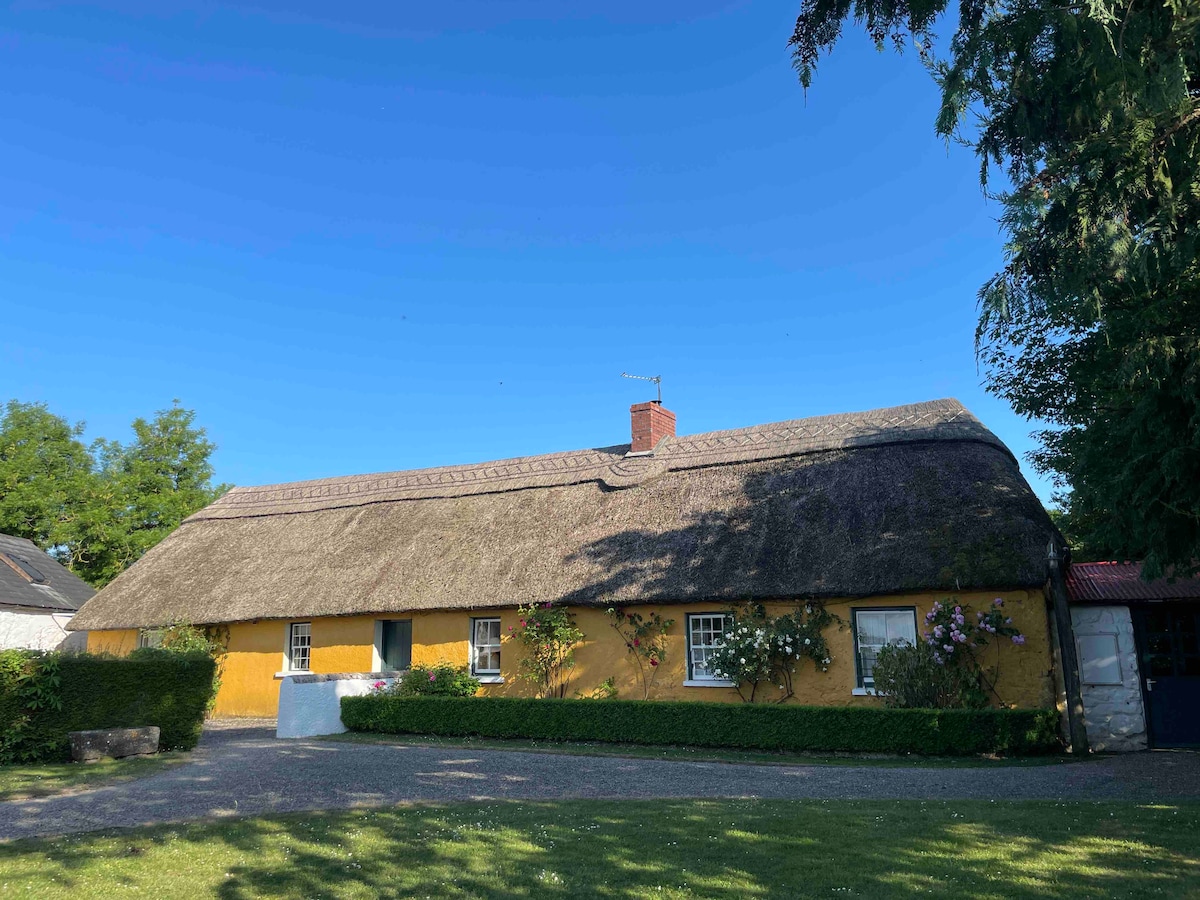 Enclosure in ArdshanballyEnclosure · 446 yd
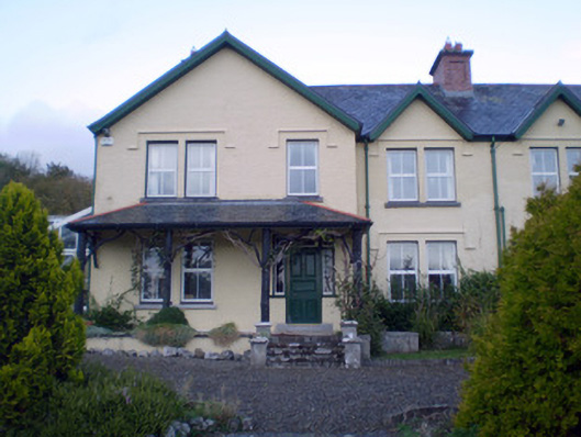 Ardshanbally Househouse · 595 yd
 Shanbally Househouse · 608 yd
 European BeechEuropean Beech · 819 yd
 European YewEuropean Yew · 836 yd
 Desmond CastleHeritage attraction · 854 yd
 Desmonds Castle (in ruins)Castle, Anglo-Norman masonry castle · 858 yd
 Adare Desmond CastleMedieval castle · 860 yd
 Adare Tourist OfficeVisitor information · 1055 yd
 CastleCastle, tower house · 1117 yd
 KnocknagowerNamed rock · 1.7 mi